Medium airport · United States
Campbell Army Airfield (Fort Campbell)KHOP
36.6742°, -87.4897°
10,926 ft
Longest runway
2
Runways
573 ft
Elevation
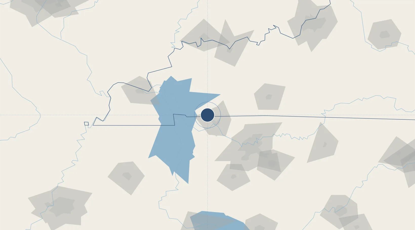
Runway & Layout

Radio Frequencies
ATIS
125.175 MHz
TWR
120.9 MHz
GND
121.8 MHz
CLD
138.8 MHz
CLNC DEL
APP
118.1 MHz
DEP
118.1 MHz
PMSV
34.33 MHz
PMSV METRO
POST
65.2 MHz
EAGLE CON
PTD
130.65 MHz
Navaids
FK NDB Airbe 273 kHz
HXW TACAN Screaming Eagle 114.90 MHz
Runways · 2
| Runway | Dimensions | Surface | True heading | Lit |
|---|---|---|---|---|
| 05/23 | 10,926 × 150ft | Asphalt | 044° | ✓ |
| 18/36 | 4,500 × 100ft | Asphalt | 179° | — |
Airport Specifications
IATA code
HOP
ICAO code
KHOP
Airport class
Medium airport
Scheduled service
No
Runway surface
Asphalt
Served city
Fort Campbell
Location
Nearby Logistics Neighbours
Airports
Cities
- 1Fort Campbell5 km
- 2Elkton33 km
- 3Cumberland City34 km
- 4Cadiz36 km
- 5Adams39 km
Ports
- 1Port Of Memphis300 km
- 2Gary550 km
- 3Indiana Harbor555 km
- 4Calumet Harbor563 km
- 5Michigan City565 km
Trade Zones
- 1FTZ No. 078 Nashville66 km
- 2FTZ No. 294 Western Kentucky107 km
- 3FTZ No. 177 Evansville147 km
- 4FTZ No. 283 West Tennessee221 km
- 5FTZ No. 265 Conroe (Montgomery County)229 km
DatabookThe Record of Consolidated Knowledge
United States beyond logistics?