UN/LOCODE hub · United States
USDSB
Drakesboro
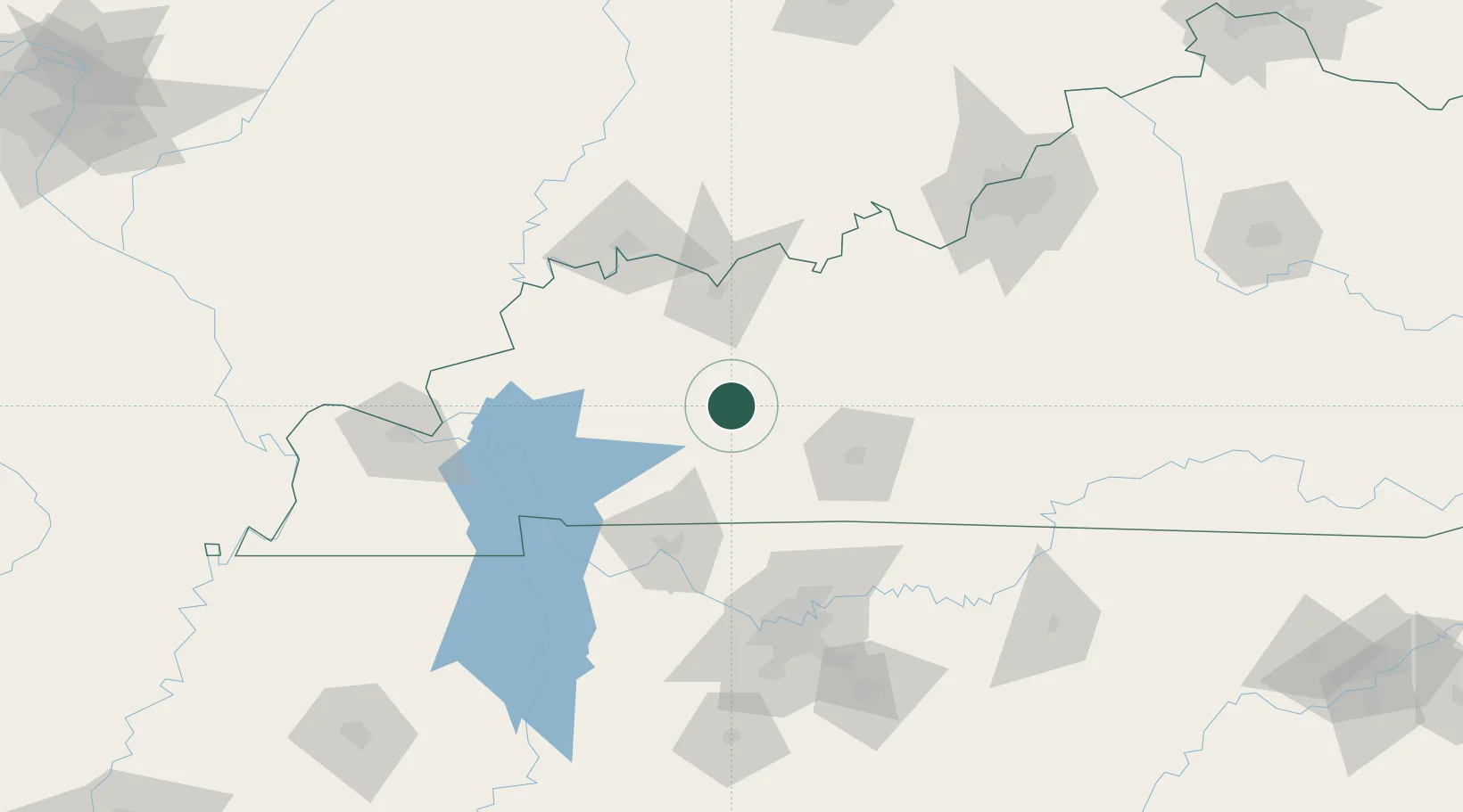
37.2167°, -87.0500°
509
Population
2
Transport functions
Transport Functions
Rail
Road
Hub Profile
Place type
Populated place
Region
Kentucky
Population
509
Time zone
America/Chicago
Elevation
135 m
Location
Nearby Logistics Neighbours
Cities
- 1Belton9 km
- 2Sacramento27 km
- 3Hartford29 km
- 4Logansport33 km
- 5Mortons Gap38 km
Ports
- 1Port Of Memphis368 km
- 2Gary490 km
- 3Indiana Harbor496 km
- 4Michigan City502 km
- 5Calumet Harbor504 km
Airports
Trade Zones
- 1FTZ No. 177 Evansville100 km
- 2FTZ No. 078 Nashville115 km
- 3FTZ No. 294 Western Kentucky137 km
- 4FTZ No. 029 Louisville161 km
- 5FTZ No. 047 Boone County271 km
DatabookThe Record of Consolidated Knowledge
United States beyond logistics?