Transport Functions
Rail
Road
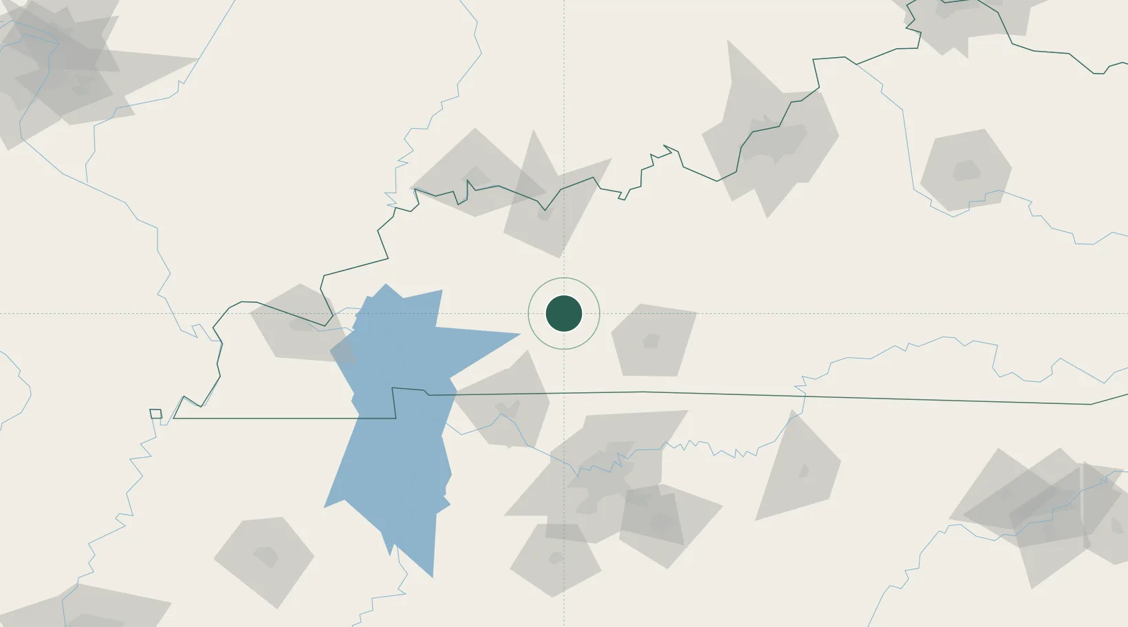
Hub Profile
Place type
Populated place
Region
Kentucky
Time zone
America/Chicago
Elevation
138 m
Location
Nearby Logistics Neighbours
Cities
- 1Drakesboro9 km
- 2Logansport29 km
- 3Hartford35 km
- 4Gordonville35 km
- 5Sacramento36 km
Ports
- 1Port Of Memphis367 km
- 2Gary498 km
- 3Indiana Harbor504 km
- 4Michigan City510 km
- 5Calumet Harbor512 km
Airports
Trade Zones
- 1FTZ No. 078 Nashville107 km
- 2FTZ No. 177 Evansville109 km
- 3FTZ No. 294 Western Kentucky141 km
- 4FTZ No. 029 Louisville163 km
- 5FTZ No. 134 Chattanooga271 km
DatabookThe Record of Consolidated Knowledge
United States beyond logistics?