Transport Functions
Rail
Road
Multimodal
Hub Profile
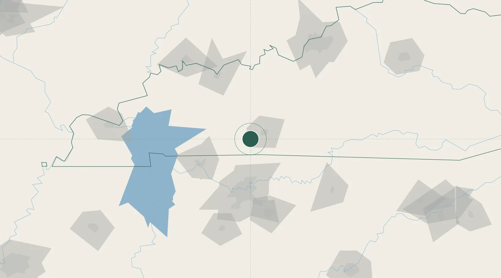
Place type
Populated place
Region
Kentucky
Time zone
America/Chicago
Elevation
185 m
Location
Nearby Logistics Neighbours
Cities
- 1Woodburn11 km
- 2Woorburn12 km
- 3Russellville22 km
- 4Orlinda32 km
- 5Gordonville33 km
Ports
- 1Port Of Memphis375 km
- 2Gary530 km
- 3Indiana Harbor536 km
- 4Michigan City540 km
- 5Calumet Harbor544 km
Airports
Trade Zones
- 1FTZ No. 078 Nashville86 km
- 2FTZ No. 177 Evansville150 km
- 3FTZ No. 029 Louisville171 km
- 4FTZ No. 294 Western Kentucky173 km
- 5FTZ No. 134 Chattanooga229 km
DatabookThe Record of Consolidated Knowledge
United States beyond logistics?