UN/LOCODE hub · United States
USHTF
Hartford
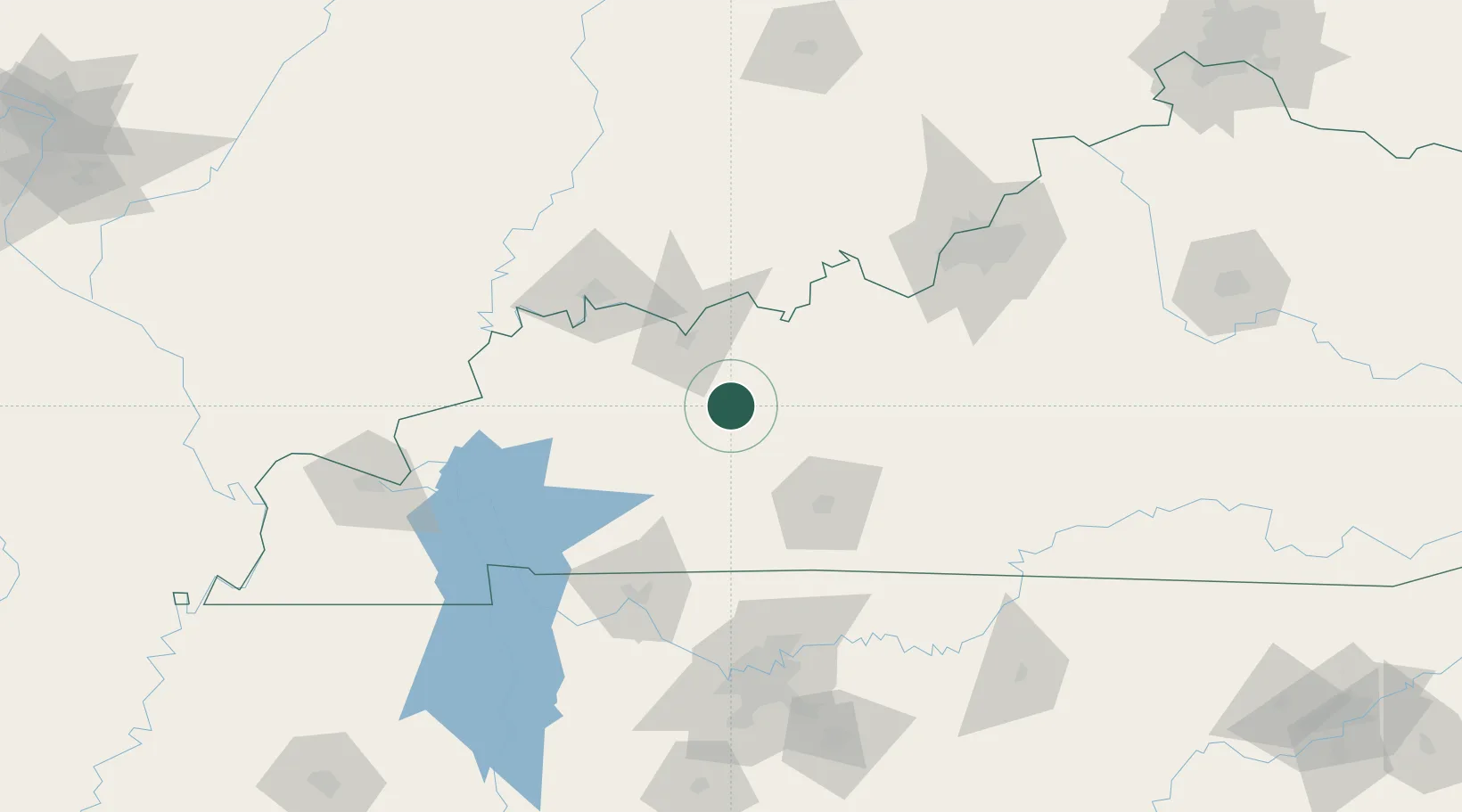
37.4500°, -86.9000°
2,750
Population
2
Transport functions
Transport Functions
Road
Multimodal
Hub Profile
Place type
Provincial seat
Region
Kentucky
Population
2,750
Time zone
America/Chicago
Elevation
127 m
Location
Nearby Logistics Neighbours
Cities
- 1Fordsville25 km
- 2Drakesboro29 km
- 3Sacramento31 km
- 4Logansport32 km
- 5Philpot32 km
Ports
- 1Port Of Memphis395 km
- 2Gary465 km
- 3Indiana Harbor471 km
- 4Michigan City476 km
- 5Calumet Harbor479 km
Airports
Trade Zones
- 1FTZ No. 177 Evansville87 km
- 2FTZ No. 029 Louisville133 km
- 3FTZ No. 078 Nashville141 km
- 4FTZ No. 294 Western Kentucky155 km
- 5FTZ No. 047 Boone County243 km
DatabookThe Record of Consolidated Knowledge
United States beyond logistics?