Transport Functions
Rail
Road
Multimodal
Hub Profile
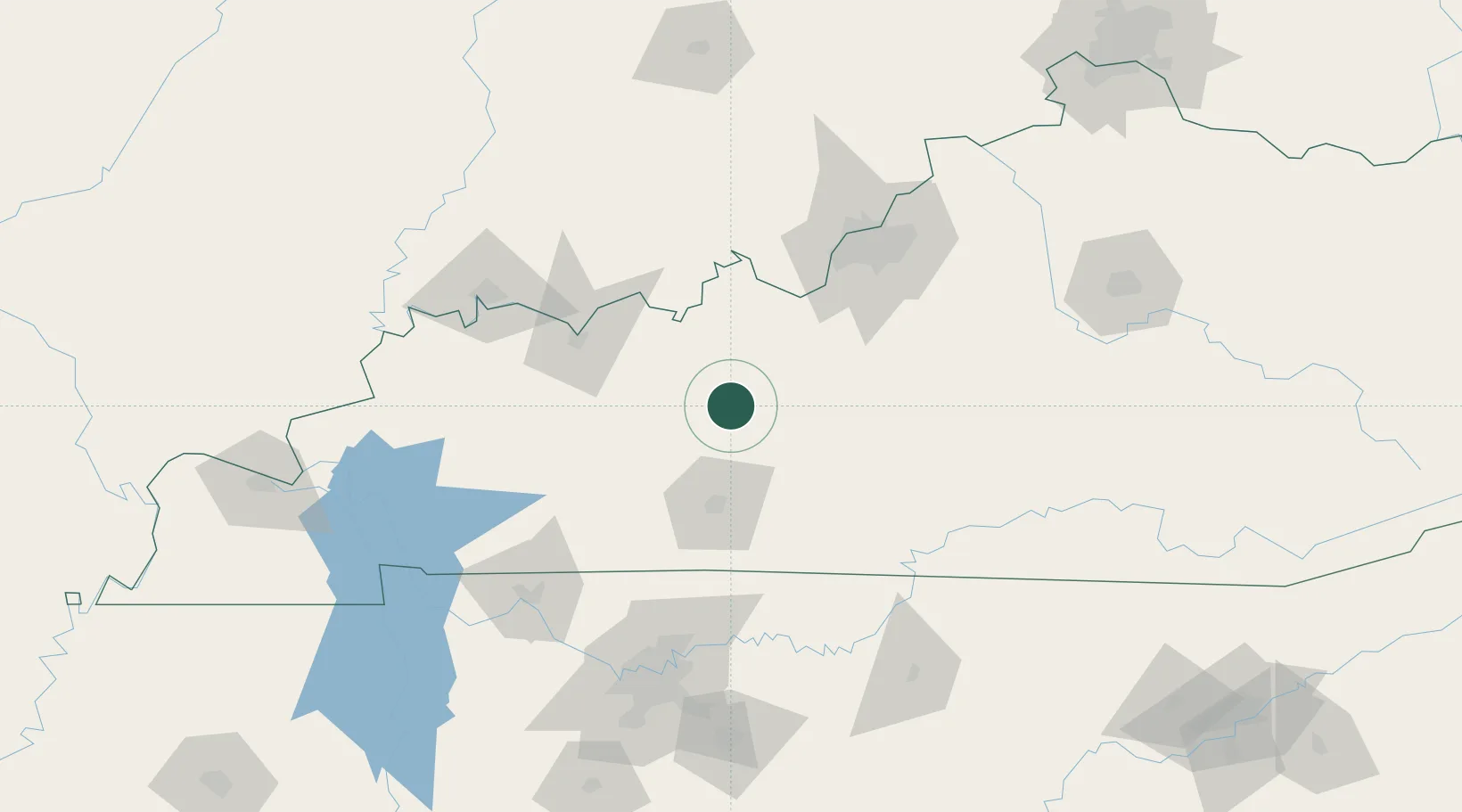
Place type
Populated place
Region
Kentucky
Time zone
America/Chicago
Elevation
206 m
Location
Nearby Logistics Neighbours
Cities
- 1Leitchfield9 km
- 2Falls of Rough20 km
- 3Fordsville37 km
- 4Logansport37 km
- 5Sonora45 km
Ports
- 1Port Of Memphis430 km
- 2Gary470 km
- 3Indiana Harbor477 km
- 4Michigan City478 km
- 5Calumet Harbor486 km
Airports
Trade Zones
- 1FTZ No. 029 Louisville104 km
- 2FTZ No. 177 Evansville124 km
- 3FTZ No. 078 Nashville153 km
- 4FTZ No. 294 Western Kentucky199 km
- 5FTZ No. 047 Boone County213 km
DatabookThe Record of Consolidated Knowledge
United States beyond logistics?