Transport Functions
Road
Multimodal
Hub Profile
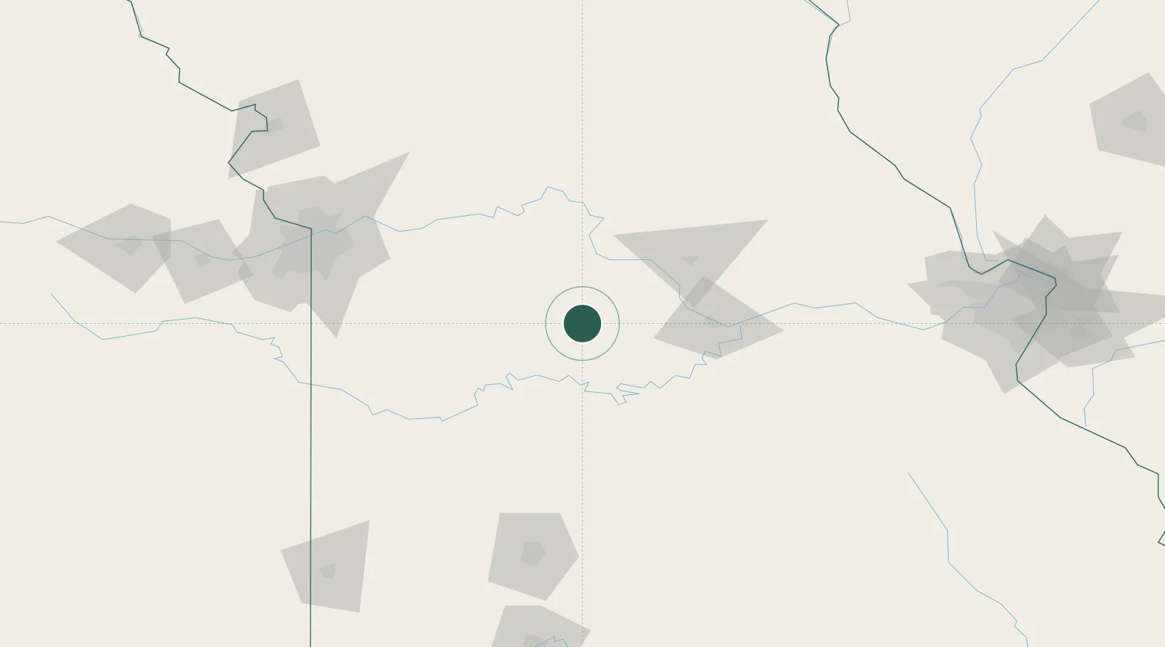
Place type
Populated place
Region
Missouri
Time zone
America/Chicago
Elevation
289 m
Location
Nearby Logistics Neighbours
Cities
- 1California37 km
- 2Green Ridge38 km
- 3Eldon43 km
- 4Laurie46 km
- 5New Franklin52 km
Ports
- 1Port Of Memphis464 km
- 2Calumet Harbor582 km
- 3Indiana Harbor583 km
- 4Chicago586 km
- 5Gary587 km
Airports
Trade Zones
- 1FTZ No. 225 Springfield155 km
- 2FTZ No. 015 Kansas City169 km
- 3FTZ No. 017 Kansas City172 km
- 4FTZ No. 102 St. Louis County198 km
- 5FTZ No. 031 Granite City242 km
DatabookThe Record of Consolidated Knowledge
United States beyond logistics?