Foreign Trade Zone · United States

FTZ No. 031 Granite City Active
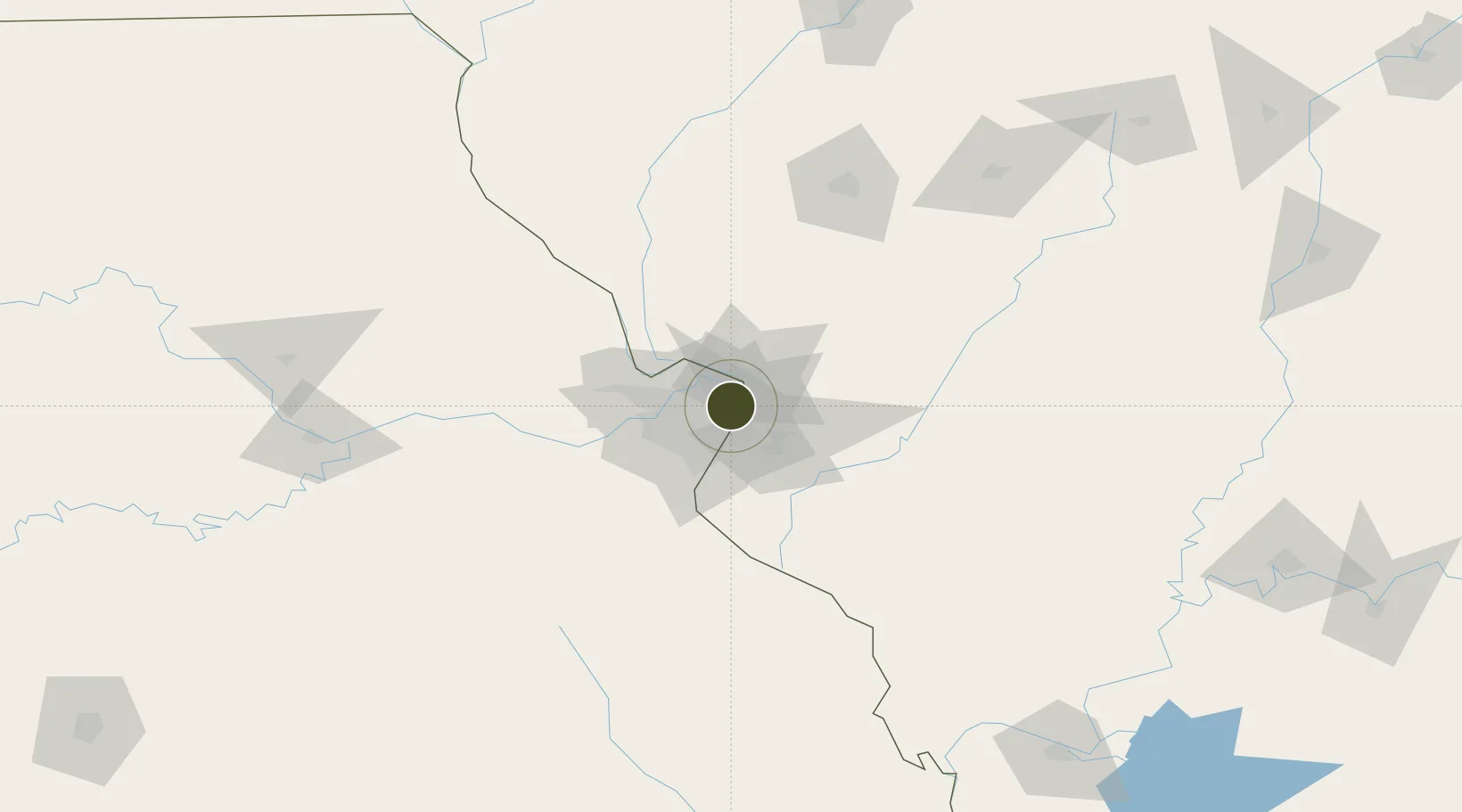
38.7401°, -90.2027°
401.5 km
Nearest port
14.5 km
Nearest airport

Gateway access

Nearest neighbours — logibook spatial index (haversine) over the source coordinates

Zone profile

Zone type
Foreign Trade Zone
Open Zone Map
Region
Missouri
Open Zone Map
Status
Active
Open Zone Map
Management
Public-Private Partnership
Open Zone Map
Operator
America's Central Port District
Open Zone Map
Legal framework
Foreign-Trade Zones Act
Open Zone Map

Location

Location of ozm-4950
Natural Earth 10m (public domain) · Missouri · ozm-4950 · 38.74, -90.20GoogleOSMYandex

Nearby Logistics Neighbours

Ports
  1. 1Indiana Harbor402 km
  2. 2Gary402 km
  3. 3Calumet Harbor403 km
  4. 4Port Of Memphis409 km
  5. 5Chicago413 km
Nearest neighbours — logibook spatial index (haversine) over the source coordinates
Airports
  1. 1St. Louis Lambert International Airport15 km
  2. 2St Louis Regional Airport22 km
  3. 3Scott AFB/Midamerica Airport39 km
  4. 4Spirit of St Louis Airport40 km
  5. 5Abraham Lincoln Capital Airport131 km
Nearest neighbours — logibook spatial index (haversine) over the source coordinates
Cities
  1. 1Bellefontaine Neighbors3 km
  2. 2Jennings5 km
  3. 3Eureka, Saint Louis6 km
  4. 4Granite City8 km
  5. 5Ferguson9 km
Nearest neighbours — logibook spatial index (haversine) over the source coordinates
Trade Zones
  1. 1FTZ No. 102 St. Louis County45 km
  2. 2FTZ No. 245 Decatur158 km
  3. 3FTZ No. 114 Peoria224 km
  4. 4FTZ No. 294 Western Kentucky234 km
  5. 5FTZ No. 177 Evansville240 km
Nearest neighbours — logibook spatial index (haversine) over the source coordinates
DatabookThe Record of Consolidated Knowledge
United States beyond logistics?
Browse databook

All Sources

Trade ZonesOpen Zone Map
CC BY
Portsthe NGA World Port Index
Public domain (US gov)
AirportsOurAirports
Public domain
LocationsUN/LOCODE
UN/LOCODE — free
← United States trade zones