Transport Functions
Rail
Road
Multimodal
Hub Profile
Place type
Populated place
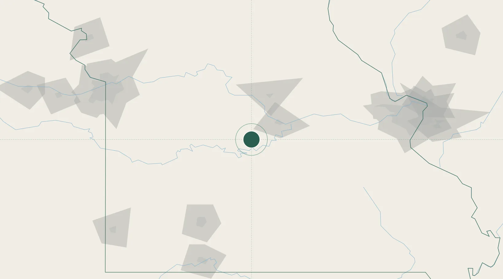
Region
Missouri
Population
4,632
Time zone
America/Chicago
Elevation
282 m
Location
Nearby Logistics Neighbours
Cities
- 1Laurie29 km
- 2California32 km
- 3Linn Creek37 km
- 4Florence43 km
- 5Macks Creek56 km
Ports
- 1Port Of Memphis424 km
- 2Calumet Harbor572 km
- 3Indiana Harbor573 km
- 4Gary576 km
- 5Chicago578 km
Airports
Trade Zones
- 1FTZ No. 225 Springfield137 km
- 2FTZ No. 102 St. Louis County167 km
- 3FTZ No. 015 Kansas City208 km
- 4FTZ No. 031 Granite City212 km
- 5FTZ No. 017 Kansas City214 km
DatabookThe Record of Consolidated Knowledge
United States beyond logistics?