Medium airport · United States
Columbia Regional AirportKCOU
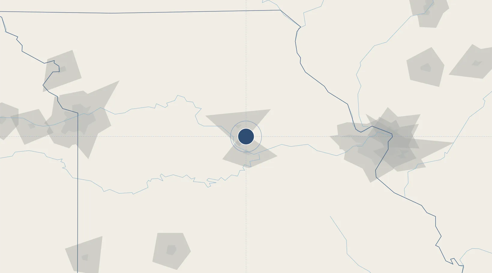
38.8181°, -92.2196°
7,401 ft
Longest runway
2
Runways
889 ft
Elevation
Runway & Layout

Radio Frequencies
ATIS
128.45 MHz
TWR
119.3 MHz
GND
121.6 MHz
CTAF
119.3 MHz
A/D
124.375 MHz
MIZZU APP/DEP
RDO
122.2 MHz
UNIC
122.95 MHz
UNICOM
Navaids
CO NDB Zodia 407 kHz
COU VOR-DME Columbia 110.20 MHz
Runways · 2
| Runway | Dimensions | Surface | True heading | Lit |
|---|---|---|---|---|
| 02/20 | 7,401 × 150ft | Concrete | 021° | ✓ |
| 13/31 | 5,500 × 100ft | Concrete | 135° | ✓ |
Airport Specifications
IATA code
COU
ICAO code
KCOU
Airport class
Medium airport
Scheduled service
Yes
Runway surface
Concrete
Served city
Columbia
Location
Nearby Logistics Neighbours
Airports
Cities
- 1New Bloomfield16 km
- 2Kingdom City29 km
- 3Lexington32 km
- 4California36 km
- 5Centralia45 km
Ports
- 1Port Of Memphis455 km
- 2Calumet Harbor514 km
- 3Indiana Harbor515 km
- 4Gary519 km
- 5Chicago519 km
Trade Zones
- 1FTZ No. 102 St. Louis County133 km
- 2FTZ No. 031 Granite City175 km
- 3FTZ No. 225 Springfield198 km
- 4FTZ No. 017 Kansas City230 km
- 5FTZ No. 015 Kansas City232 km
DatabookThe Record of Consolidated Knowledge
United States beyond logistics?