Medium airport · United States
Whiteman Air Force BaseKSZL
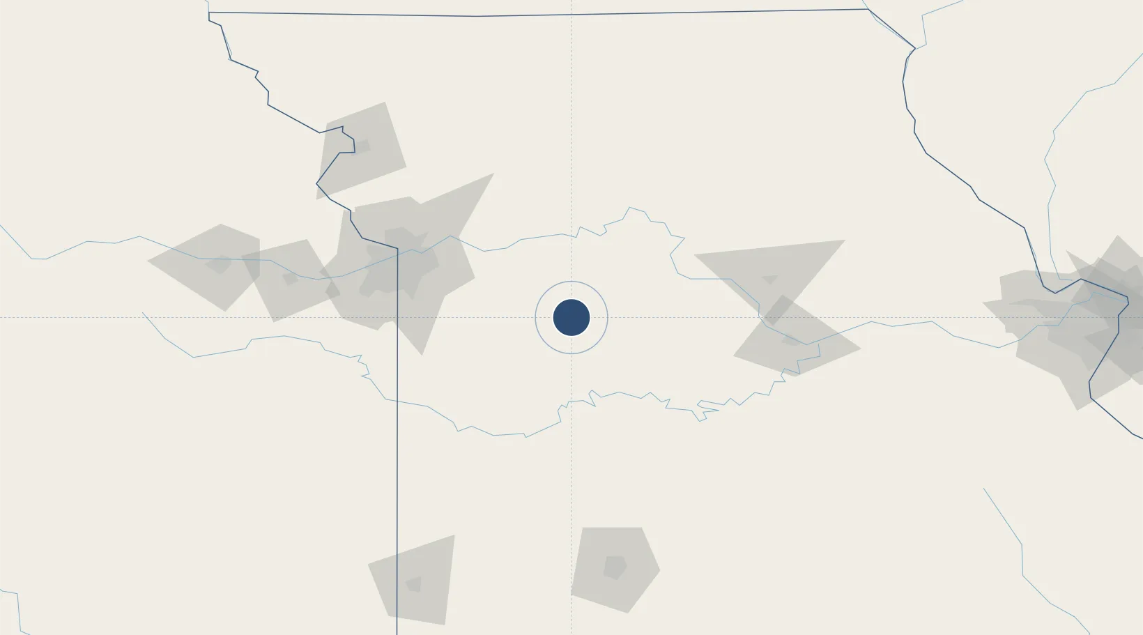
38.7303°, -93.5479°
12,400 ft
Longest runway
1
Runways
870 ft
Elevation
Runway & Layout

Radio Frequencies
ATIS
139.3 MHz
TWR
132.4 MHz
GND
128.275 MHz
CLD
121.75 MHz
CLNC DEL
APP
127.45 MHz
DEP
125.925 MHz
A/G
49.65 MHz
ARNG HAWK OPS
OPS
22.78 MHz
303 TFS OPS
PMSV
34.46 MHz
PMSV METRO
POST
31.1 MHz
COMD POST
PTD
118.725 MHz
Navaids
SZL TACAN Whiteman 109.80 MHz
Runways · 1
| Runway | Dimensions | Surface | True heading | Lit |
|---|---|---|---|---|
| 01/19 | 12,400 × 200ft | Concrete | 011° | ✓ |
Airport Specifications
IATA code
SZL
ICAO code
KSZL
Airport class
Medium airport
Scheduled service
No
Runway surface
Concrete
Served city
Knob Noster
Location
Nearby Logistics Neighbours
Airports
Cities
- 1Knob Noster4 km
- 2Green Ridge17 km
- 3Sweet Springs28 km
- 4Columbus34 km
- 5Pittsville40 km
Ports
- 1Port Of Memphis506 km
- 2Calumet Harbor611 km
- 3Indiana Harbor613 km
- 4Chicago614 km
- 5Gary618 km
Trade Zones
- 1FTZ No. 015 Kansas City118 km
- 2FTZ No. 017 Kansas City120 km
- 3FTZ No. 225 Springfield174 km
- 4FTZ No. 102 St. Louis County247 km
- 5FTZ No. 133 Quad-Cities, Iowa Illinois286 km
DatabookThe Record of Consolidated Knowledge
United States beyond logistics?