Transport Functions
Road
Multimodal
Hub Profile
Place type
Populated place
Region
Missouri
Population
932
Time zone
America/Chicago
Elevation
294 m
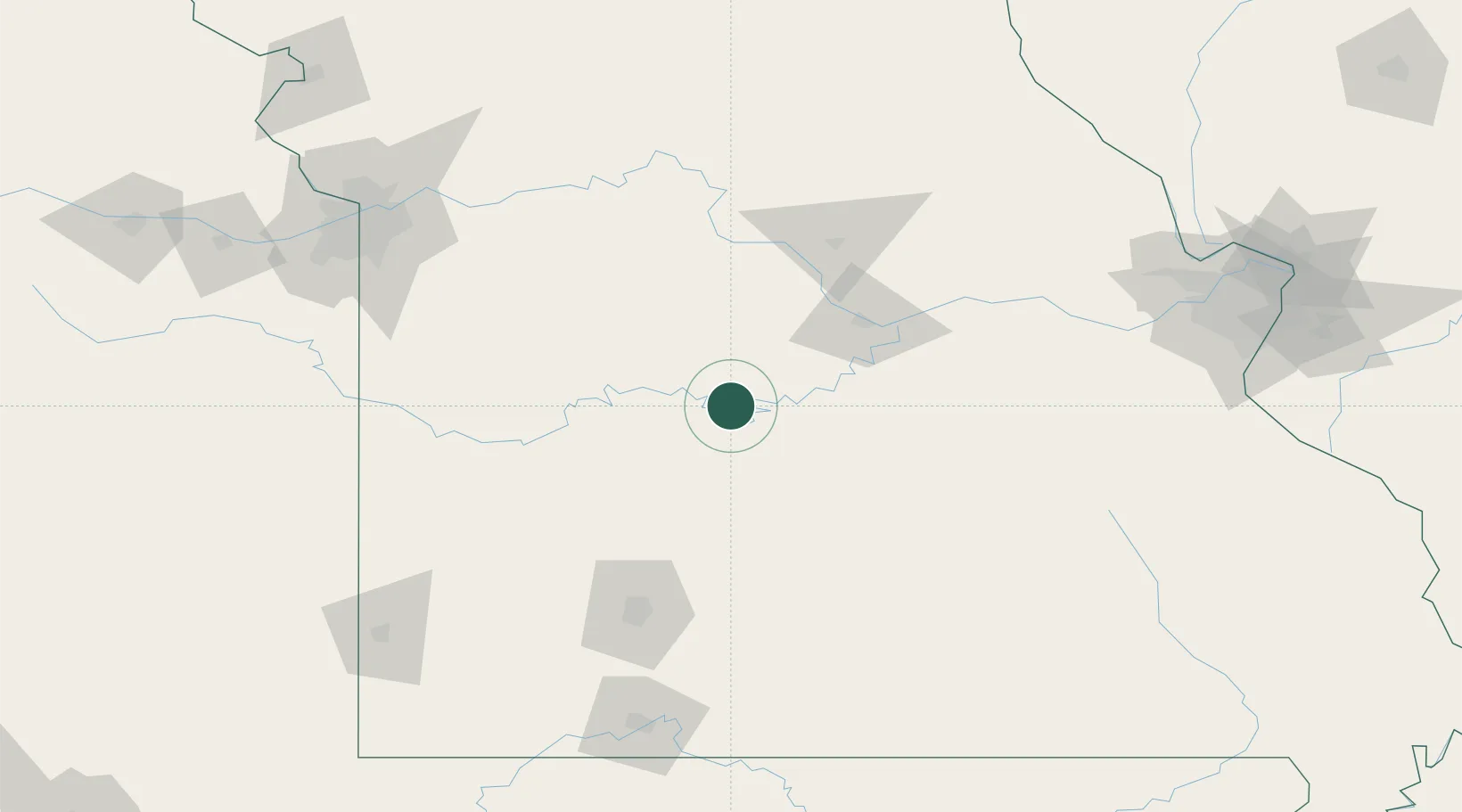
Location
Nearby Logistics Neighbours
Cities
- 1Linn Creek20 km
- 2Macks Creek29 km
- 3Eldon29 km
- 4Florence46 km
- 5Richland53 km
Ports
- 1Port Of Memphis420 km
- 2Calumet Harbor601 km
- 3Indiana Harbor602 km
- 4Gary605 km
- 5Chicago606 km
Airports
Trade Zones
- 1FTZ No. 225 Springfield113 km
- 2FTZ No. 102 St. Louis County192 km
- 3FTZ No. 015 Kansas City194 km
- 4FTZ No. 017 Kansas City203 km
- 5FTZ No. 031 Granite City237 km
DatabookThe Record of Consolidated Knowledge
United States beyond logistics?