UN/LOCODE hub · United States
USGR3
Green Ridge
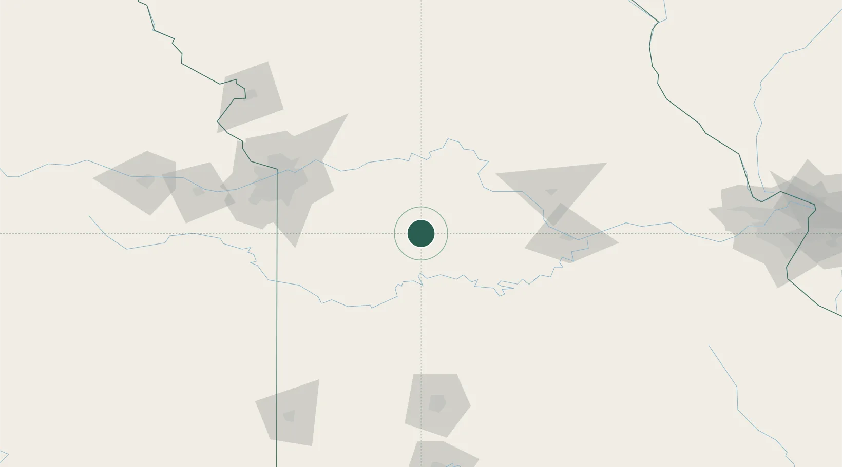
38.6167°, -93.4167°
491
Population
3
Transport functions
Transport Functions
Rail
Road
Multimodal
Hub Profile
Place type
Populated place
Region
Missouri
Population
491
Time zone
America/Chicago
Elevation
275 m
Location
Nearby Logistics Neighbours
Cities
- 1Knob Noster20 km
- 2Sweet Springs37 km
- 3Florence38 km
- 4Clinton42 km
- 5Columbus50 km
Ports
- 1Port Of Memphis489 km
- 2Calumet Harbor609 km
- 3Indiana Harbor611 km
- 4Chicago613 km
- 5Gary615 km
Airports
Trade Zones
- 1FTZ No. 015 Kansas City131 km
- 2FTZ No. 017 Kansas City135 km
- 3FTZ No. 225 Springfield159 km
- 4FTZ No. 102 St. Louis County235 km
- 5FTZ No. 031 Granite City279 km
DatabookThe Record of Consolidated Knowledge
United States beyond logistics?