UN/LOCODE hub · United States
USCFJ
California
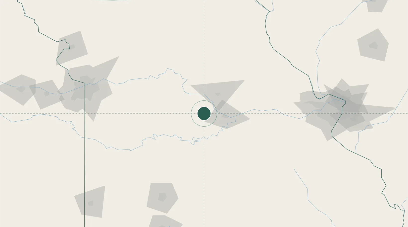
38.6333°, -92.5667°
4,396
Population
2
Transport functions
Transport Functions
Rail
Road
Hub Profile
Place type
Provincial seat
Region
Missouri
Population
4,396
Time zone
America/Chicago
Elevation
272 m
Location
Nearby Logistics Neighbours
Cities
- 1Eldon32 km
- 2Florence37 km
- 3New Bloomfield43 km
- 4Lexington43 km
- 5New Franklin46 km
Ports
- 1Port Of Memphis450 km
- 2Calumet Harbor550 km
- 3Indiana Harbor551 km
- 4Gary555 km
- 5Chicago555 km
Airports
Trade Zones
- 1FTZ No. 102 St. Louis County162 km
- 2FTZ No. 225 Springfield168 km
- 3FTZ No. 015 Kansas City203 km
- 4FTZ No. 017 Kansas City205 km
- 5FTZ No. 031 Granite City206 km
DatabookThe Record of Consolidated Knowledge
United States beyond logistics?