UN/LOCODE hub · United States
USNFG
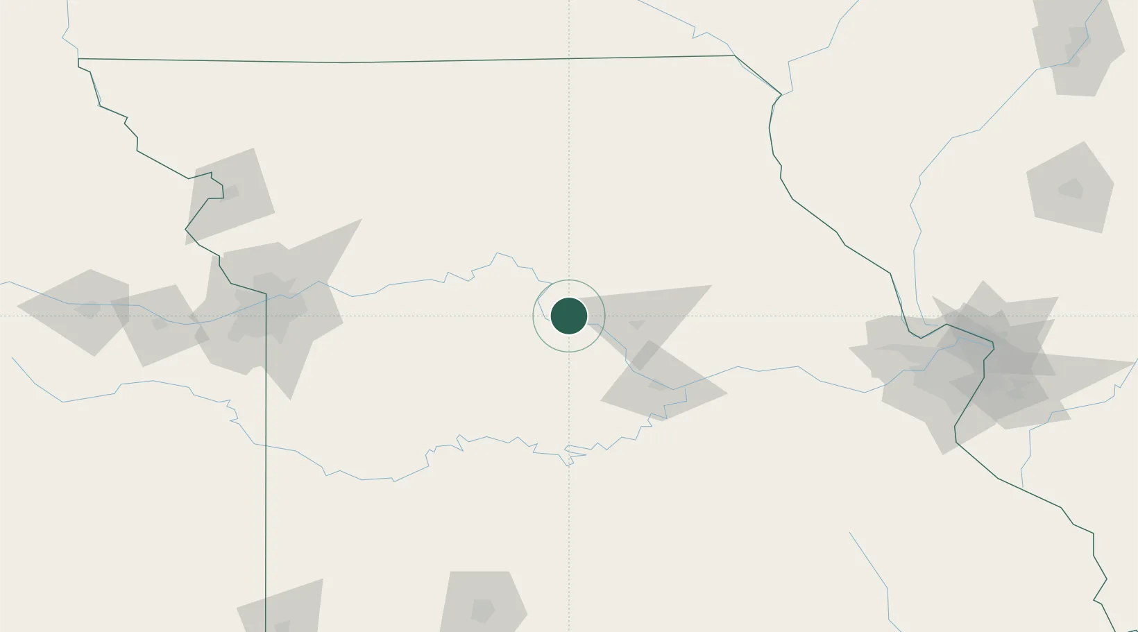
New Franklin
39.0167°, -92.7500°
1,082
Population
2
Transport functions
Transport Functions
Road
Multimodal
Hub Profile
Place type
Populated place
Region
Missouri
Population
1,082
Time zone
America/Chicago
Elevation
196 m
Location
Nearby Logistics Neighbours
Cities
- 1Lexington23 km
- 2Salisbury45 km
- 3California46 km
- 4Florence52 km
- 5Sweet Springs57 km
Ports
- 1Port Of Memphis495 km
- 2Calumet Harbor536 km
- 3Indiana Harbor538 km
- 4Chicago540 km
- 5Gary543 km
Airports
Trade Zones
- 1FTZ No. 102 St. Louis County182 km
- 2FTZ No. 017 Kansas City182 km
- 3FTZ No. 015 Kansas City187 km
- 4FTZ No. 225 Springfield205 km
- 5FTZ No. 031 Granite City223 km
DatabookThe Record of Consolidated Knowledge
United States beyond logistics?