Transport Functions
Port
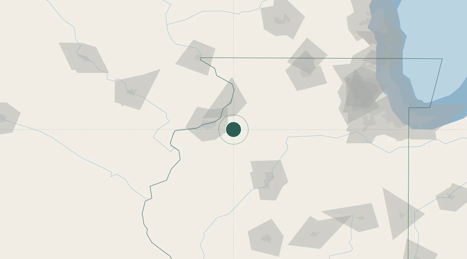
Hub Profile
Place type
Populated place
Region
Illinois
Population
6,538
Time zone
America/Chicago
Elevation
198 m
Location
Nearby Logistics Neighbours
Cities
- 1Osco15 km
- 2Silvis22 km
- 3Coal Valley25 km
- 4Cordova29 km
- 5Princeton30 km
Ports
- 1Great Lakes215 km
- 2Wilmette217 km
- 3Chicago218 km
- 4Waukegan219 km
- 5Calumet Harbor222 km
Airports
Trade Zones
- 1FTZ No. 114 Peoria95 km
- 2FTZ No. 271 Jo-Daviess and Carroll Counties98 km
- 3FTZ No. 055 Burlington106 km
- 4FTZ No. 176 Rockford120 km
- 5FTZ No. 175 Cedar Rapids149 km
DatabookThe Record of Consolidated Knowledge
United States beyond logistics?