Transport Functions
Rail
Road
Hub Profile
Place type
Populated place
Region
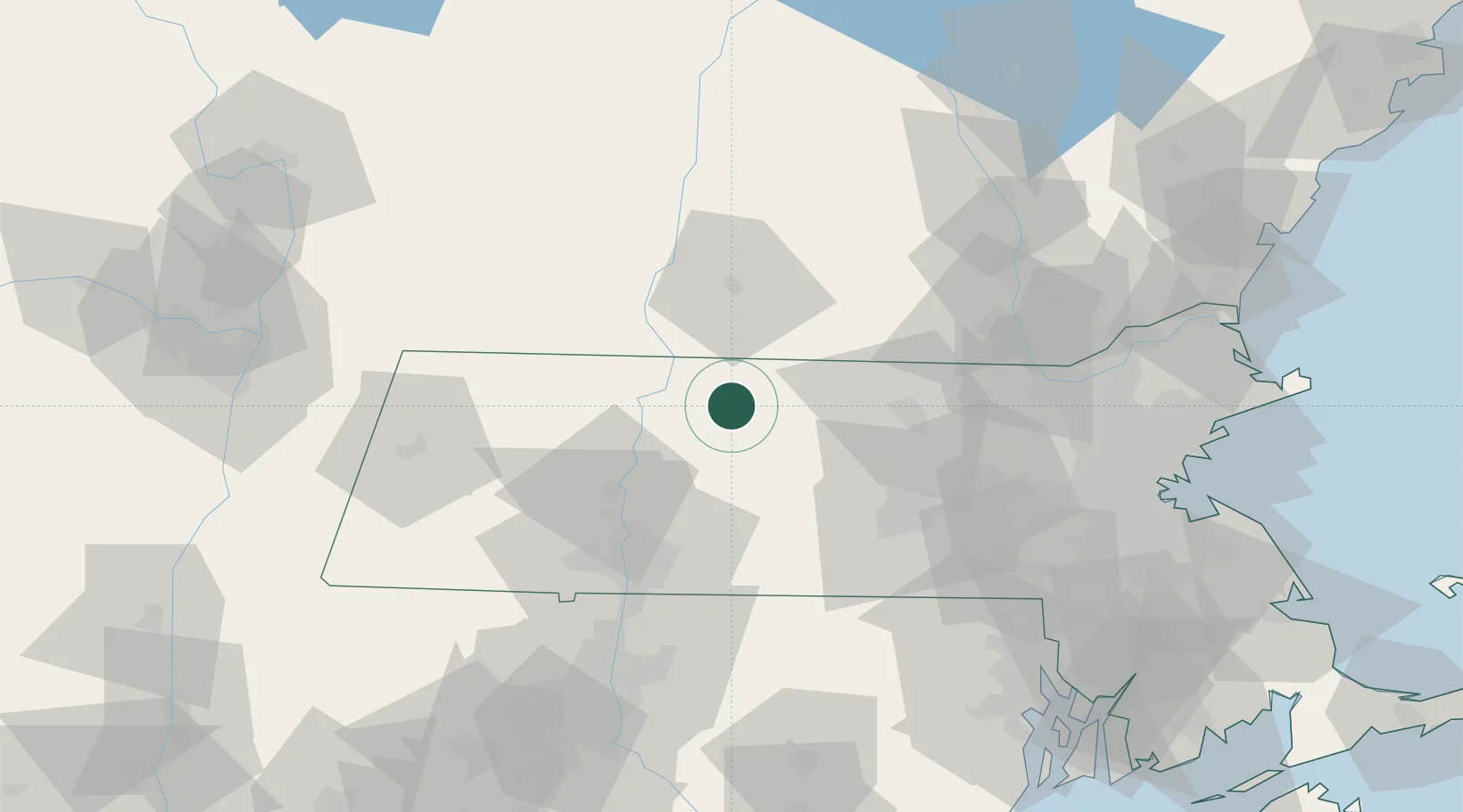
Massachusetts
Population
4,018
Time zone
America/New_York
Elevation
156 m
Location
Nearby Logistics Neighbours
Cities
- 1Erving8 km
- 2Phillipston14 km
- 3Turners Falls21 km
- 4Fitzwilliam24 km
- 5Barre25 km
Ports
- 1Boston106 km
- 2Lynn112 km
- 3Providence114 km
- 4Quincy116 km
- 5Troy116 km
Airports
Trade Zones
- 1FTZ No. 268 Brattleboro40 km
- 2FTZ No. 201 Holyoke52 km
- 3FTZ No. 071 Windsor Locks78 km
- 4FTZ No. 027 Boston102 km
- 5FTZ No. 105 Providence and North Kingstown110 km
DatabookThe Record of Consolidated Knowledge
United States beyond logistics?