UN/LOCODE hub · United States
USKMI
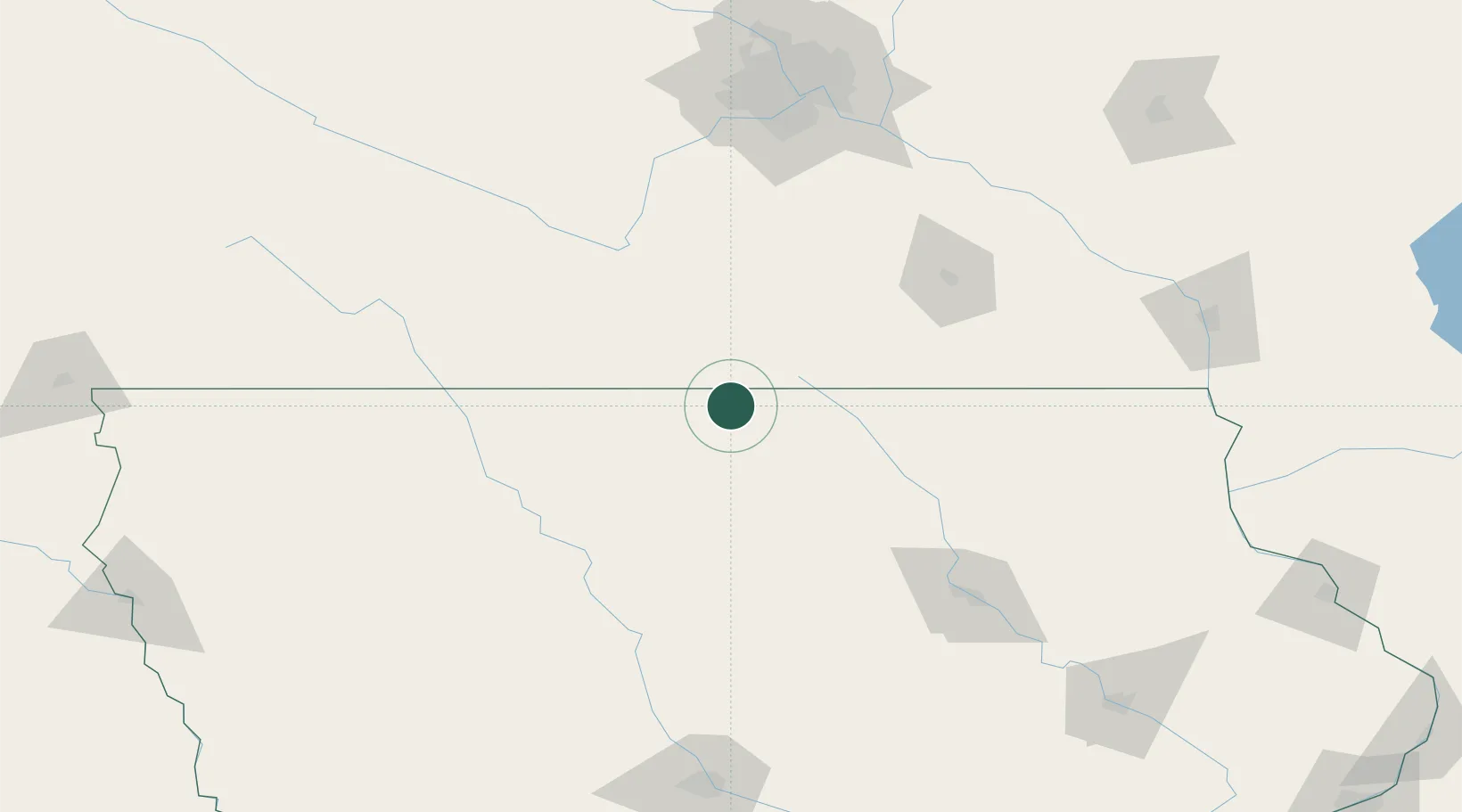
Lake Mills
43.4167°, -93.5333°
2,060
Population
3
Transport functions
Transport Functions
Rail
Road
Multimodal
Hub Profile
Place type
Populated place
Region
Iowa
Population
2,060
Time zone
America/Chicago
Elevation
393 m
Location
Nearby Logistics Neighbours
Cities
- 1Alden28 km
- 2Garner36 km
- 3Wells38 km
- 4Hartland43 km
- 5Saint Ansgar50 km
Ports
- 1Superior386 km
- 2Duluth389 km
- 3Ashland411 km
- 4Washburn417 km
- 5Two Harbors427 km
Airports
Trade Zones
- 1FTZ No. 119 Minneapolis-St. Paul174 km
- 2FTZ No. 107 Polk County195 km
- 3FTZ No. 288 Northwest Iowa208 km
- 4FTZ No. 175 Cedar Rapids215 km
- 5FTZ No. 220 Sioux Falls264 km
DatabookThe Record of Consolidated Knowledge
United States beyond logistics?