UN/LOCODE hub · United States
USOAD
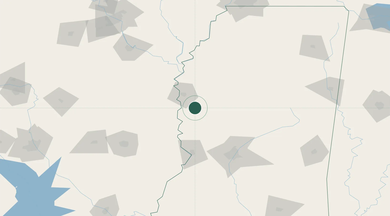
Hollandale
33.1667°, -90.8500°
2,545
Population
3
Transport functions
Transport Functions
Rail
Road
Multimodal
Hub Profile
Place type
Populated place
Region
Mississippi
Population
2,545
Time zone
America/Chicago
Elevation
35 m
Location
Nearby Logistics Neighbours
Cities
- 1Holly Ridge33 km
- 2Greenville36 km
- 3Eudora38 km
- 4Lamont46 km
- 5Lake Providence50 km
Ports
- 1Port Of Memphis220 km
- 2Baton Rouge304 km
- 3Madisonville315 km
- 4Slidell338 km
- 5Reserve348 km
Airports
Trade Zones
- 1FTZ No. 158 Vicksburg Jackson95 km
- 2FTZ No. 287 Tunica County167 km
- 3FTZ No. 014 Little Rock212 km
- 4FTZ No. 262 Southaven212 km
- 5FTZ No. 077 Memphis225 km
DatabookThe Record of Consolidated Knowledge
United States beyond logistics?