Transport Functions
Rail
Road
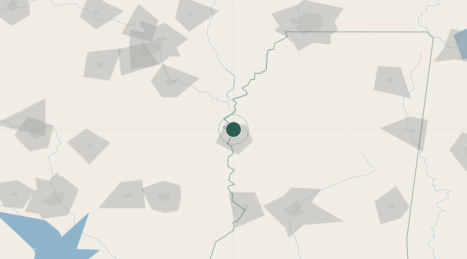
Hub Profile
Place type
Populated place
Region
Mississippi
Time zone
America/Chicago
Elevation
41 m
Location
Nearby Logistics Neighbours
Cities
- 1Scott6 km
- 2Greenville11 km
- 3Cypress Bend13 km
- 4McGehee29 km
- 5Holly Ridge32 km
Ports
- 1Port Of Memphis190 km
- 2Baton Rouge343 km
- 3Madisonville359 km
- 4Slidell383 km
- 5Reserve391 km
Airports
Trade Zones
- 1FTZ No. 287 Tunica County131 km
- 2FTZ No. 158 Vicksburg Jackson138 km
- 3FTZ No. 014 Little Rock166 km
- 4FTZ No. 262 Southaven185 km
- 5FTZ No. 077 Memphis193 km
DatabookThe Record of Consolidated Knowledge
United States beyond logistics?