UN/LOCODE hub · United States
USYLP
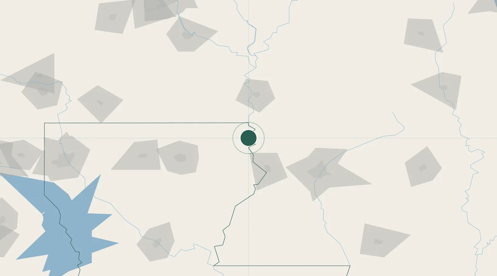
Lake Providence
32.8000°, -91.1667°
3,715
Population
4
Transport functions
Transport Functions
Port
Rail
Road
Multimodal
Hub Profile
Place type
Provincial seat
Region
Louisiana
Population
3,715
Time zone
America/Chicago
Elevation
32 m
Location
Nearby Logistics Neighbours
Cities
- 1Eudora34 km
- 2Talla Bena35 km
- 3Tallulah45 km
- 4Redwood49 km
- 5Ballground50 km
Ports
- 1Baton Rouge261 km
- 2Port Of Memphis268 km
- 3Madisonville284 km
- 4Slidell311 km
- 5Convent311 km
Airports
Trade Zones
- 1FTZ No. 158 Vicksburg Jackson64 km
- 2FTZ No. 287 Tunica County212 km
- 3FTZ No. 014 Little Rock233 km
- 4FTZ No. 262 Southaven261 km
- 5FTZ No. 154 Baton Rouge262 km
DatabookThe Record of Consolidated Knowledge
United States beyond logistics?