Medium airport · United States

Monticello Municipal Ellis FieldKLLQ
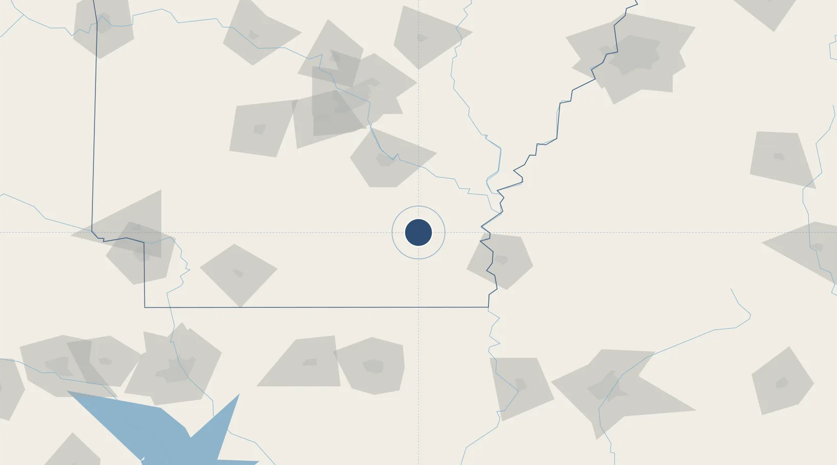
33.6386°, -91.7510°
5,020 ft
Longest runway
1
Runways
270 ft
Elevation

Runway & Layout

Monticello Municipal Ellis Field runway & taxiway layout
Runway & taxiway layout — OpenStreetMap (ODbL) / OurAirports

Radio Frequencies

ASOS
133.325 MHz
CNTR
135.875 MHz
MEMPHIS CNTR
FSS
122.1 MHz
JONESBORO RDO
UNIC
122.8 MHz
CTAF/UNICOM
OurAirports

Runways · 1

RunwayDimensions SurfaceTrue headingLit
03/21 5,020 × 75ft Asphalt 032°
OurAirports

Airport Specifications

ICAO code
KLLQ
OurAirports
Airport class
Medium airport
OurAirports
Scheduled service
No
OurAirports
Runway surface
Asphalt
OurAirports
Served city
Monticello
OurAirports

Location

Location of KLLQ
Natural Earth 10m (public domain) · Arkansas · KLLQ · 33.64, -91.75GoogleOSMYandex

Nearby Logistics Neighbours

Airports
  1. 1Pine Bluff Regional Airport, Grider Field62 km
  2. 2Mid Delta Regional Airport73 km
  3. 3South Arkansas Regional Airport at Goodwin Field109 km
  4. 4Saline County Regional Airport125 km
  5. 5Monroe Regional Airport128 km
Nearest neighbours — logibook spatial index (haversine) over the source coordinates
Cities
  1. 1Tillar29 km
  2. 2Star City34 km
  3. 3McGehee34 km
  4. 4Draper40 km
  5. 5Hamburg47 km
Nearest neighbours — logibook spatial index (haversine) over the source coordinates
Ports
  1. 1Port Of Memphis215 km
  2. 2Baton Rouge359 km
  3. 3Madisonville391 km
  4. 4Lake Charles406 km
  5. 5Convent412 km
Nearest neighbours — logibook spatial index (haversine) over the source coordinates
Trade Zones
  1. 1FTZ No. 014 Little Rock126 km
  2. 2FTZ No. 287 Tunica County151 km
  3. 3FTZ No. 158 Vicksburg Jackson172 km
  4. 4FTZ No. 262 Southaven215 km
  5. 5FTZ No. 077 Memphis215 km
Nearest neighbours — logibook spatial index (haversine) over the source coordinates
DatabookThe Record of Consolidated Knowledge
United States beyond logistics?
Browse databook

All Sources

AirportsOurAirports
Public domain
Portsthe NGA World Port Index
Public domain (US gov)
LocationsUN/LOCODE
UN/LOCODE — free
Trade Zonesthe World Bank SEZ database
CC BY 4.0
Trade ZonesOpen Zone Map
CC BY
InfrastructureOpenStreetMap
ODbL 1.0
← United States airports