Transport Functions
Rail
Road
Hub Profile
Place type
Populated place
Region
Mississippi
Time zone
America/Chicago
Elevation
35 m
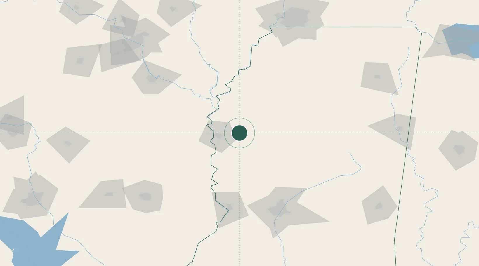
Location
Nearby Logistics Neighbours
Cities
- 1Greenville27 km
- 2Lamont32 km
- 3Hollandale33 km
- 4Scott33 km
- 5Drew45 km
Ports
- 1Port Of Memphis188 km
- 2Baton Rouge336 km
- 3Madisonville344 km
- 4Slidell366 km
- 5Reserve379 km
Airports
Trade Zones
- 1FTZ No. 158 Vicksburg Jackson126 km
- 2FTZ No. 287 Tunica County135 km
- 3FTZ No. 262 Southaven179 km
- 4FTZ No. 077 Memphis192 km
- 5FTZ No. 014 Little Rock193 km
DatabookThe Record of Consolidated Knowledge
United States beyond logistics?