Medium airport · United States

Mid Delta Regional AirportKGLH
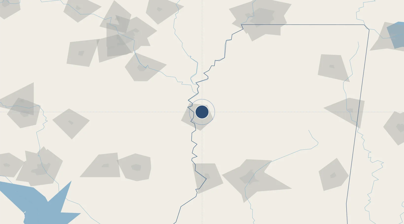
33.4829°, -90.9856°
8,001 ft
Longest runway
2
Runways
131 ft
Elevation

Runway & Layout

Mid Delta Regional Airport runway & taxiway layout
Runway & taxiway layout — OpenStreetMap (ODbL) / OurAirports

Radio Frequencies

ASOS
125.525 MHz
TWR
119 MHz
GREENVILLE TWR
GND
121.8 MHz
CTAF
119 MHz
CNTR
135.875 MHz
MEMPHIS CNTR
UNIC
122.95 MHz
UNICOM
OurAirports

Runways · 2

RunwayDimensions SurfaceTrue headingLit
18L/36R 8,001 × 150ft Asphalt 180°
18R/36L 7,019 × 150ft Asphalt / concrete 180°
OurAirports

Airport Specifications

IATA code
GLH
OurAirports
ICAO code
KGLH
OurAirports
Airport class
Medium airport
OurAirports
Scheduled service
Yes
OurAirports
Runway surface
Asphalt
OurAirports
Served city
Greenville
OurAirports

Location

Location of KGLH
Natural Earth 10m (public domain) · Mississippi · KGLH · 33.48, -90.99GoogleOSMYandex

Nearby Logistics Neighbours

Airports
  1. 1Monticello Municipal Ellis Field73 km
  2. 2Greenwood–Leflore Airport83 km
  3. 3Pine Bluff Regional Airport, Grider Field117 km
  4. 4Monroe Regional Airport146 km
  5. 5Jackson-Medgar Wiley Evers International Airport156 km
Nearest neighbours — logibook spatial index (haversine) over the source coordinates
Cities
  1. 1Greenville7 km
  2. 2Lamont11 km
  3. 3Scott14 km
  4. 4Holly Ridge22 km
  5. 5Cypress Bend24 km
Nearest neighbours — logibook spatial index (haversine) over the source coordinates
Ports
  1. 1Port Of Memphis192 km
  2. 2Baton Rouge338 km
  3. 3Madisonville352 km
  4. 4Slidell375 km
  5. 5Reserve384 km
Nearest neighbours — logibook spatial index (haversine) over the source coordinates
Trade Zones
  1. 1FTZ No. 158 Vicksburg Jackson131 km
  2. 2FTZ No. 287 Tunica County134 km
  3. 3FTZ No. 014 Little Rock176 km
  4. 4FTZ No. 262 Southaven185 km
  5. 5FTZ No. 077 Memphis195 km
Nearest neighbours — logibook spatial index (haversine) over the source coordinates
DatabookThe Record of Consolidated Knowledge
United States beyond logistics?
Browse databook

All Sources

AirportsOurAirports
Public domain
Portsthe NGA World Port Index
Public domain (US gov)
LocationsUN/LOCODE
UN/LOCODE — free
Trade Zonesthe World Bank SEZ database
CC BY 4.0
Trade ZonesOpen Zone Map
CC BY
InfrastructureOpenStreetMap
ODbL 1.0
← United States airports