UN/LOCODE hub · United States
USGLH
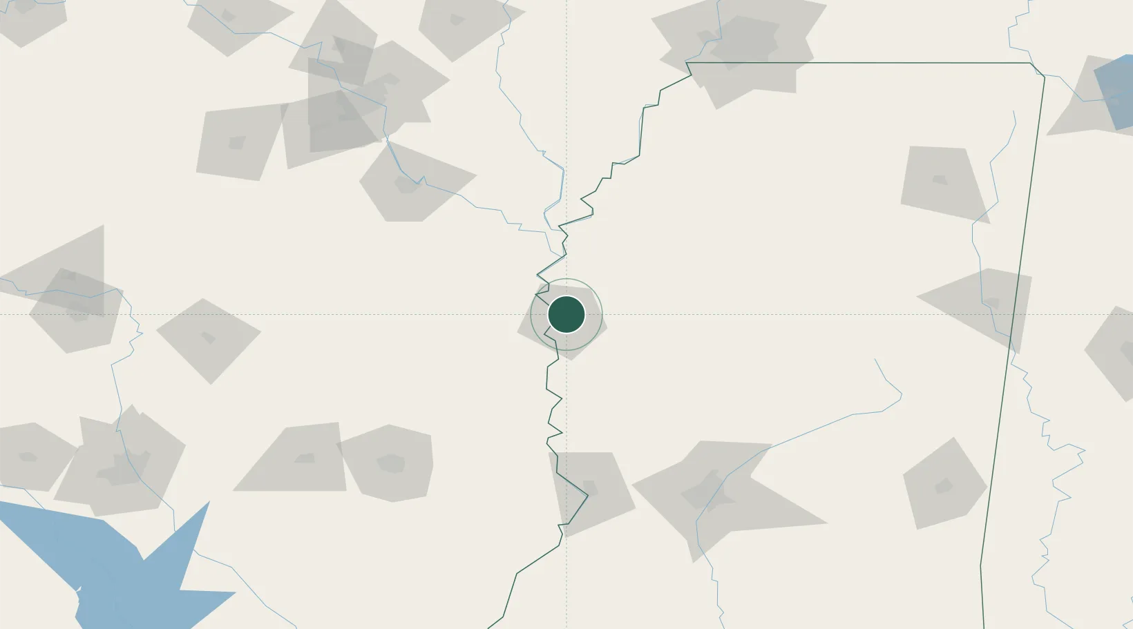
Greenville
33.4425°, -91.0440°
32,156
Population
2
Transport functions
Transport Functions
Port
Airport
Hub Profile
Place type
Provincial seat
Region
Mississippi
Population
32,156
Time zone
America/Chicago
Elevation
40 m
Logistics facilities
1
Location
Nearby Logistics Neighbours
Cities
- 1Lamont11 km
- 2Scott16 km
- 3Cypress Bend23 km
- 4Holly Ridge27 km
- 5Hollandale36 km
Ports
- 1Port Of Memphis198 km
- 2Baton Rouge333 km
- 3Madisonville349 km
- 4Slidell373 km
- 5Reserve380 km
Airports
Trade Zones
- 1FTZ No. 158 Vicksburg Jackson127 km
- 2FTZ No. 287 Tunica County139 km
- 3FTZ No. 014 Little Rock177 km
- 4FTZ No. 262 Southaven192 km
- 5FTZ No. 077 Memphis201 km
DatabookThe Record of Consolidated Knowledge
United States beyond logistics?