Medium airport · United States

Monroe Regional AirportKMLU
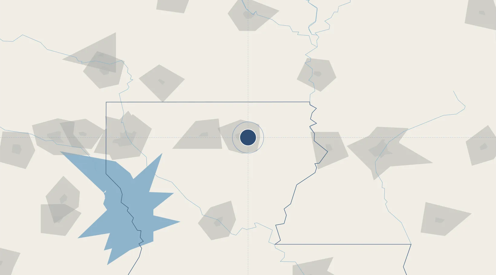
32.5109°, -92.0377°
7,504 ft
Longest runway
2
Runways
79 ft
Elevation

Runway & Layout

Monroe Regional Airport runway & taxiway layout
Runway & taxiway layout — OpenStreetMap (ODbL) / OurAirports

Radio Frequencies

ATIS
125.05 MHz
TWR
118.9 MHz
GND
121.9 MHz
CLD
121.65 MHz
CLNC DEL
CTAF
118.9 MHz
A/D
118.15 MHz
APP/DEP
RDO
122.25 MHz
DE RIDDER RDO
UNIC
122.95 MHz
UNICOM
OurAirports

Navaids

ML NDB Sabar 392 kHz
MLU VORTAC Monroe 117.20 MHz
OurAirports

Runways · 2

RunwayDimensions SurfaceTrue headingLit
04/22 7,504 × 150ft Asphalt / concrete 045°
14/32 6,301 × 150ft Asphalt 140°
OurAirports

Airport Specifications

IATA code
MLU
OurAirports
ICAO code
KMLU
OurAirports
Airport class
Medium airport
OurAirports
Scheduled service
Yes
OurAirports
Runway surface
Asphalt / concrete
OurAirports
Served city
Monroe
OurAirports

Location

Location of KMLU
Natural Earth 10m (public domain) · Louisiana · KMLU · 32.51, -92.04GoogleOSMYandex

Nearby Logistics Neighbours

Airports
  1. 1South Arkansas Regional Airport at Goodwin Field107 km
  2. 2Esler Army Airfield / Esler Regional Airport127 km
  3. 3Monticello Municipal Ellis Field128 km
  4. 4Alexandria International Airport140 km
  5. 5Mid Delta Regional Airport146 km
Nearest neighbours — logibook spatial index (haversine) over the source coordinates
Cities
  1. 1Mer Rouge37 km
  2. 2Baskin40 km
  3. 3Choudrant43 km
  4. 4Grambling62 km
  5. 5Hodge69 km
Nearest neighbours — logibook spatial index (haversine) over the source coordinates
Ports
  1. 1Baton Rouge243 km
  2. 2Lake Charles280 km
  3. 3Madisonville295 km
  4. 4Convent300 km
  5. 5St. James304 km
Nearest neighbours — logibook spatial index (haversine) over the source coordinates
Trade Zones
  1. 1FTZ No. 158 Vicksburg Jackson119 km
  2. 2FTZ No. 145 Shreveport180 km
  3. 3FTZ No. 146 Lawrence County180 km
  4. 4FTZ No. 154 Baton Rouge242 km
  5. 5FTZ No. 155 Calhoun Victoria Counties242 km
Nearest neighbours — logibook spatial index (haversine) over the source coordinates
DatabookThe Record of Consolidated Knowledge
United States beyond logistics?
Browse databook

All Sources

AirportsOurAirports
Public domain
Portsthe NGA World Port Index
Public domain (US gov)
LocationsUN/LOCODE
UN/LOCODE — free
Trade Zonesthe World Bank SEZ database
CC BY 4.0
Trade ZonesOpen Zone Map
CC BY
InfrastructureOpenStreetMap
ODbL 1.0
← United States airports