Transport Functions
Rail
Road
Multimodal
Hub Profile
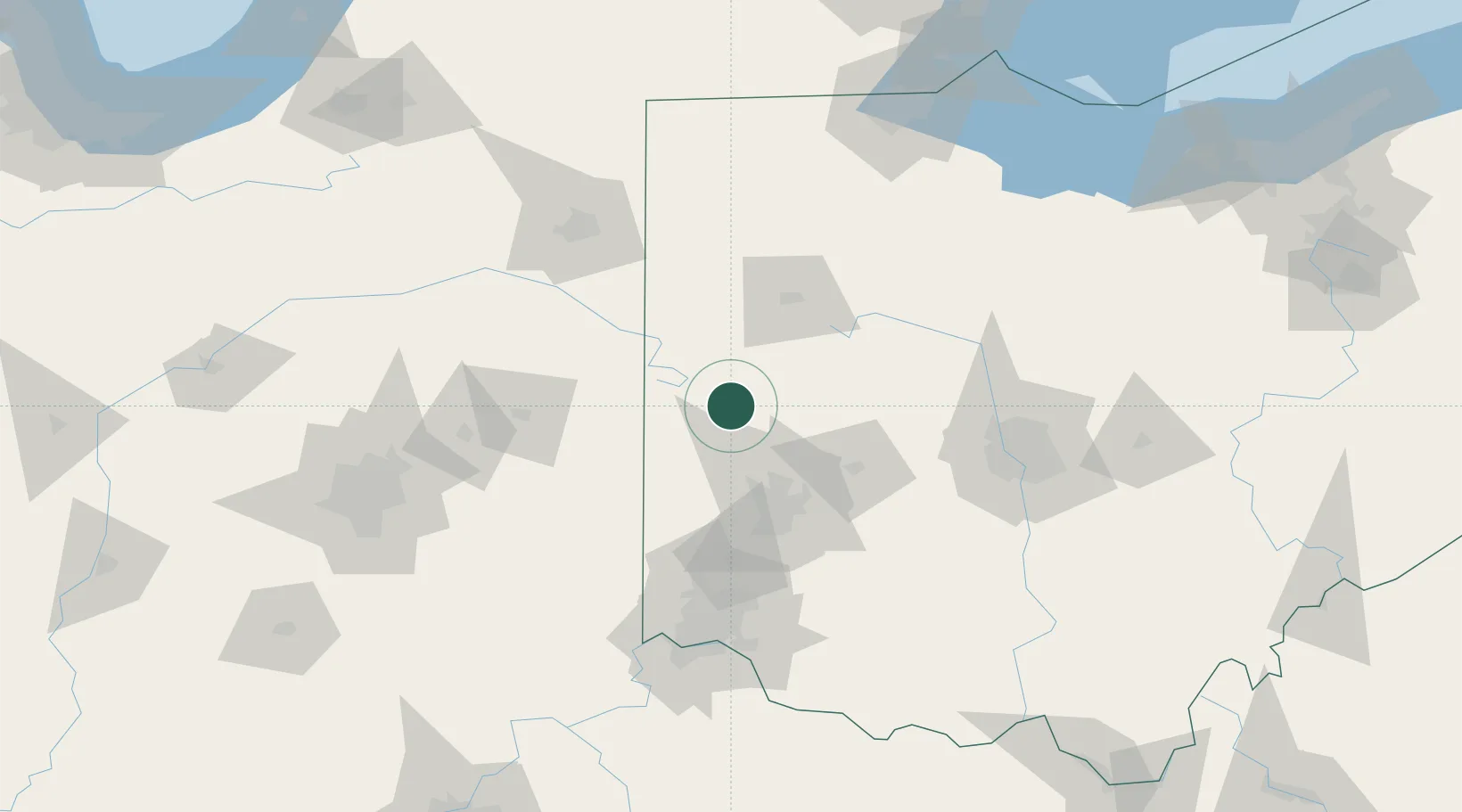
Place type
Populated place
Region
Ohio
Population
656
Time zone
America/New_York
Elevation
295 m
Location
Nearby Logistics Neighbours
Cities
- 1Versailles7 km
- 2Covington14 km
- 3New Weston23 km
- 4Kettlersville26 km
- 5Fletcher26 km
Ports
- 1Toledo181 km
- 2Port Clinton189 km
- 3Sandusky196 km
- 4Huron203 km
- 5Monroe204 km
Airports
Trade Zones
- 1FTZ No. 100 Dayton50 km
- 2FTZ No. 054 Clinton County104 km
- 3FTZ No. 151 Findlay107 km
- 4FTZ No. 182 Fort Wayne121 km
- 5FTZ No. 046 CIncinnati126 km
DatabookThe Record of Consolidated Knowledge
United States beyond logistics?