UN/LOCODE hub · United States
USXVE
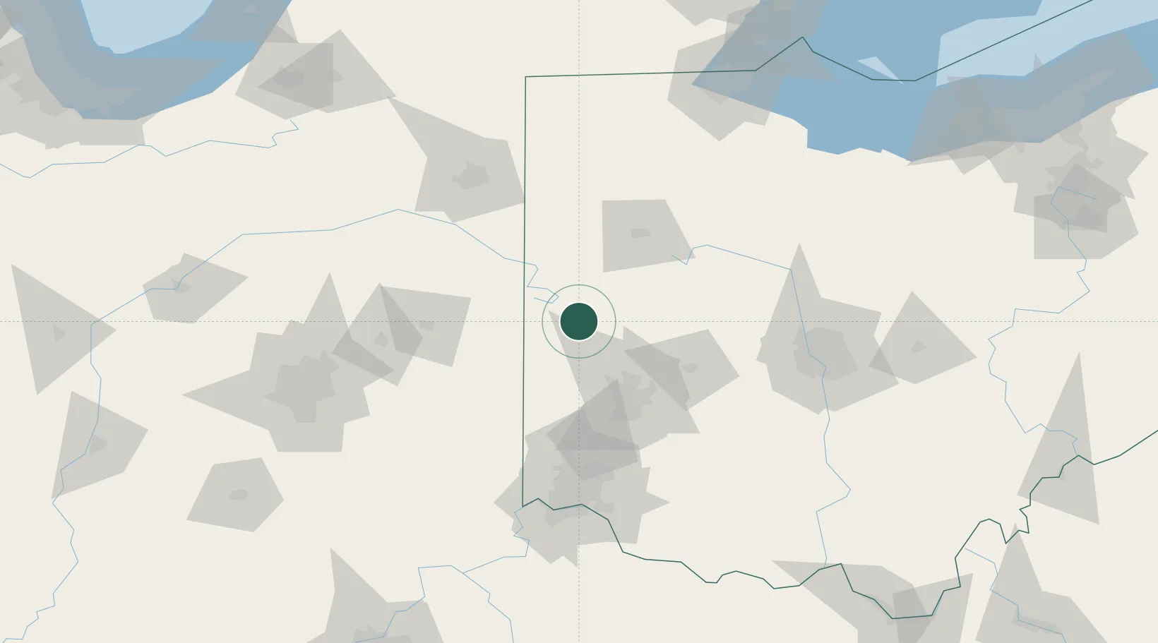
Versailles
40.2167°, -84.4833°
2,643
Population
3
Transport functions
Transport Functions
Rail
Road
Multimodal
Hub Profile
Place type
Populated place
Region
Ohio
Population
2,643
Time zone
America/New_York
Elevation
300 m
Location
Nearby Logistics Neighbours
Cities
- 1Russia7 km
- 2Covington16 km
- 3New Weston18 km
- 4Saint Henry26 km
- 5Kettlersville31 km
Ports
- 1Toledo186 km
- 2Port Clinton195 km
- 3Sandusky202 km
- 4Monroe209 km
- 5Huron209 km
Airports
Trade Zones
- 1FTZ No. 100 Dayton50 km
- 2FTZ No. 054 Clinton County106 km
- 3FTZ No. 151 Findlay113 km
- 4FTZ No. 182 Fort Wayne118 km
- 5FTZ No. 046 CIncinnati124 km
DatabookThe Record of Consolidated Knowledge
United States beyond logistics?