Transport Functions
Port
Road
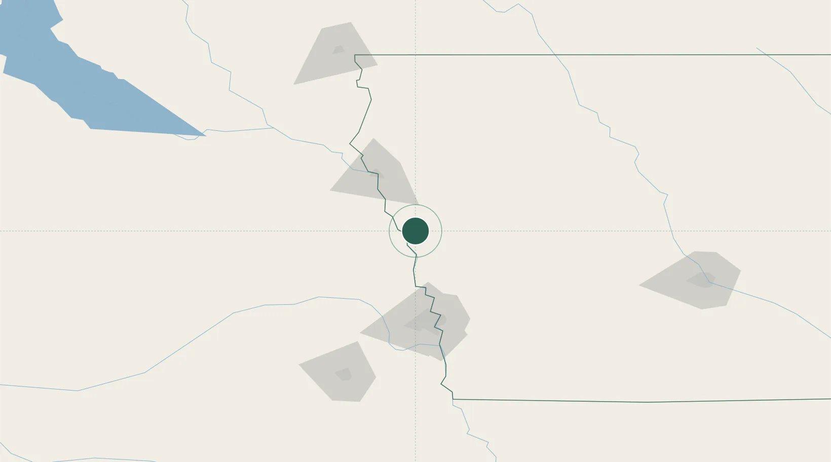
Hub Profile
Place type
Provincial seat
Region
Iowa
Population
2,881
Time zone
America/Chicago
Elevation
320 m
Location
Nearby Logistics Neighbours
Cities
- 1Lyons34 km
- 2Dunlap44 km
- 3Sergeant Bluff48 km
- 4Arion52 km
- 5Schleswig56 km
Ports
- 1Superior614 km
- 2Duluth616 km
- 3Ashland657 km
- 4Two Harbors658 km
- 5Washburn662 km
Airports
Trade Zones
- 1FTZ No. 288 Northwest Iowa127 km
- 2FTZ No. 059 Lincoln149 km
- 3FTZ No. 220 Sioux Falls180 km
- 4FTZ No. 107 Polk County200 km
- 5FTZ No. 133 Quad-Cities, Iowa Illinois209 km
DatabookThe Record of Consolidated Knowledge
United States beyond logistics?