Transport Functions
Rail
Road
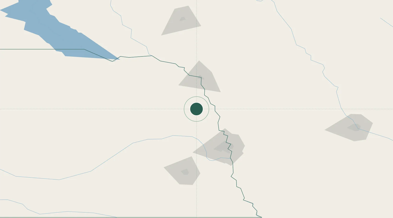
Hub Profile
Place type
Populated place
Region
Nebraska
Population
815
Time zone
America/Chicago
Elevation
394 m
Location
Nearby Logistics Neighbours
Cities
- 1Onawa34 km
- 2Sergeant Bluff53 km
- 3North Bend58 km
- 4Morse Bluff60 km
- 5Cedar Bluffs62 km
Ports
- 1Superior639 km
- 2Duluth640 km
- 3Two Harbors683 km
- 4Ashland685 km
- 5Washburn689 km
Airports
Trade Zones
- 1FTZ No. 059 Lincoln129 km
- 2FTZ No. 288 Northwest Iowa141 km
- 3FTZ No. 220 Sioux Falls182 km
- 4FTZ No. 133 Quad-Cities, Iowa Illinois199 km
- 5FTZ No. 107 Polk County232 km
DatabookThe Record of Consolidated Knowledge
United States beyond logistics?