Transport Functions
Port
Rail
Road
Multimodal
Hub Profile
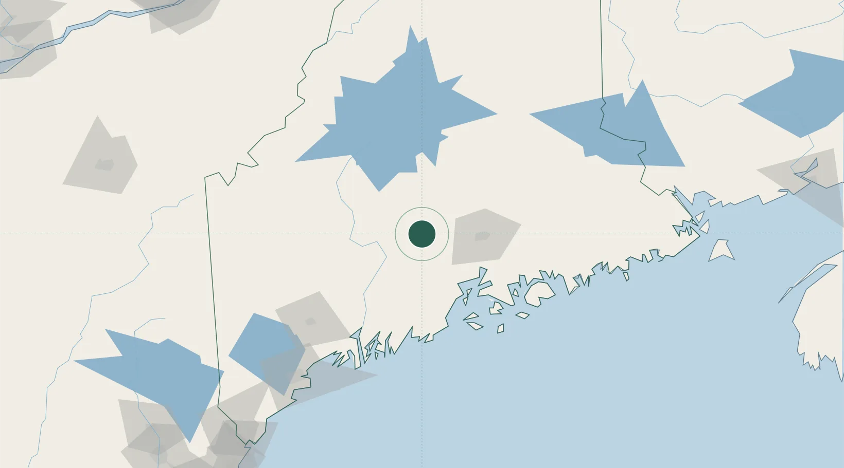
Place type
Populated place
Region
Maine
Population
1,776
Time zone
America/New_York
Elevation
63 m
Location
Nearby Logistics Neighbours
Cities
- 1Pittsfield10 km
- 2Burnham21 km
- 3Unity26 km
- 4Corinth29 km
- 5Hermon32 km
Ports
- 1Winterport41 km
- 2Bangor41 km
- 3Bucksport49 km
- 4Sandypoint51 km
- 5Belfast52 km
Airports
- 1Bangor International Airport36 km
- 2Islesboro Airport66 km
- 3Augusta State Airport70 km
- 4Witherspoons Airport82 km
- 5Hancock County-Bar Harbor Airport85 km
Trade Zones
- 1FTZ No. 058 Bangor37 km
- 2FTZ No. 186 Waterville46 km
- 3FTZ No. 263 Auburn110 km
- 4FTZ No. 081 Portsmouth234 km
- 5Saint John257 km
DatabookThe Record of Consolidated Knowledge
United States beyond logistics?