UN/LOCODE hub · United States
US8CH

Corinth

44.9833°, -68.9833°
2,516
Population
1
Transport functions

Transport Functions

Multimodal
UN/LOCODE

Hub Profile

Place type
Populated place
GeoNames
Region
New York
GeoNames
Population
2,516
GeoNames
Time zone
America/New_York
GeoNames
Elevation
186 m
GeoNames

Location

Location of US8CH
Natural Earth 10m (public domain) · New York · US8CH · 44.98, -68.98GoogleOSMYandex

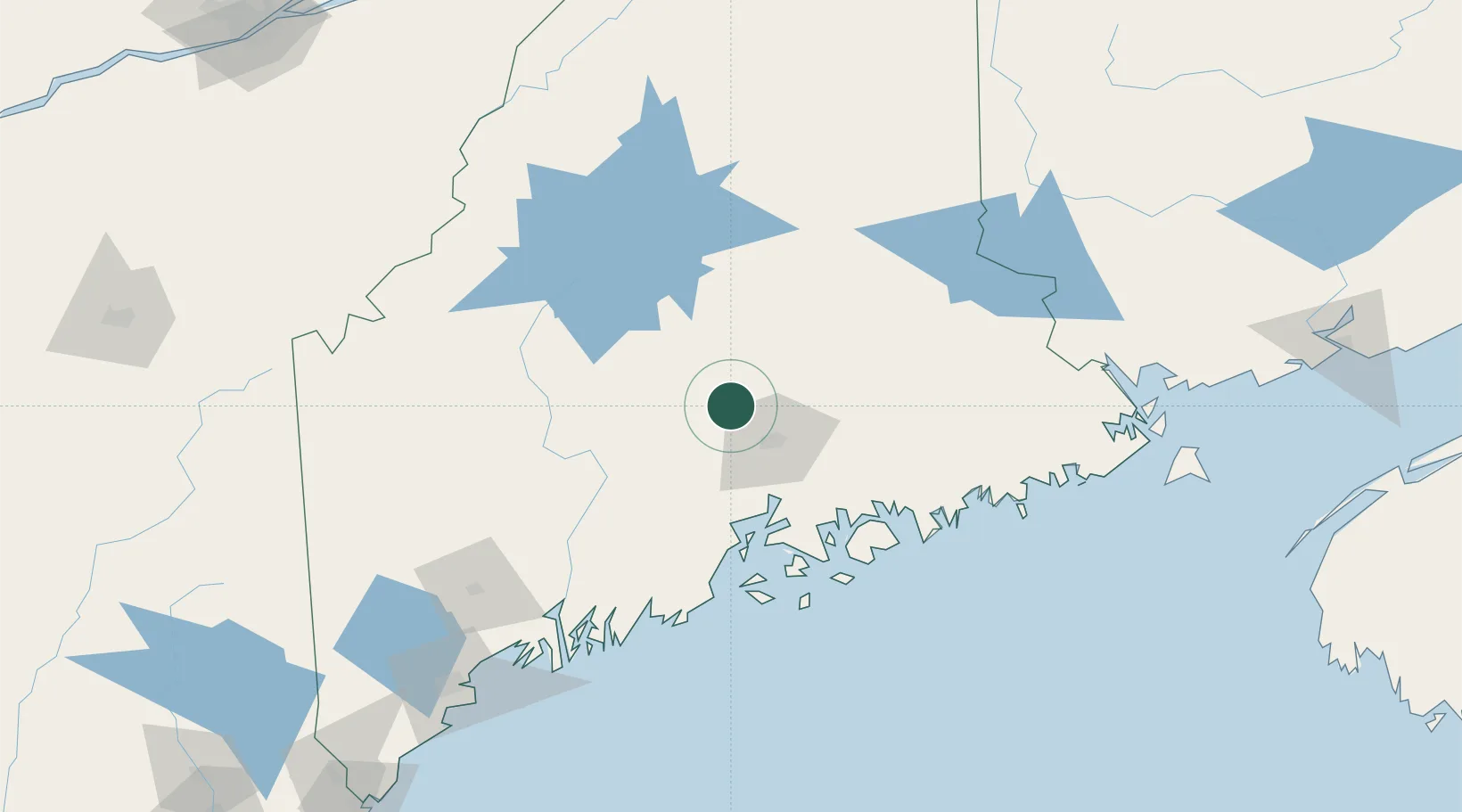
Nearby Logistics Neighbours

Cities
  1. 1Hermon22 km
  2. 2Newport29 km
  3. 3Eddington30 km
  4. 4Guilford37 km
  5. 5Pittsfield39 km
Nearest neighbours — logibook spatial index (haversine) over the source coordinates
Ports
  1. 1Bangor27 km
  2. 2Winterport40 km
  3. 3Bucksport49 km
  4. 4Sandypoint54 km
  5. 5Searsport60 km
Nearest neighbours — logibook spatial index (haversine) over the source coordinates
Airports
  1. 1Bangor International Airport23 km
  2. 2Islesboro Airport76 km
  3. 3Hancock County-Bar Harbor Airport77 km
  4. 4Witherspoons Airport93 km
  5. 5Augusta State Airport98 km
Nearest neighbours — logibook spatial index (haversine) over the source coordinates
Trade Zones
  1. 1FTZ No. 058 Bangor24 km
  2. 2FTZ No. 186 Waterville75 km
  3. 3FTZ No. 263 Auburn138 km
  4. 4Saint John231 km
  5. 5FTZ No. 179 Madawaska260 km
Nearest neighbours — logibook spatial index (haversine) over the source coordinates
DatabookThe Record of Consolidated Knowledge
United States beyond logistics?
Browse databook

All Sources

LocationsUN/LOCODE
UN/LOCODE — free
LocationsGeoNames
CC BY 4.0
Portsthe NGA World Port Index
Public domain (US gov)
AirportsOurAirports
Public domain
Trade Zonesthe World Bank SEZ database
CC BY 4.0
Trade ZonesOpen Zone Map
CC BY
← United States locations