Transport Functions
Rail
Road
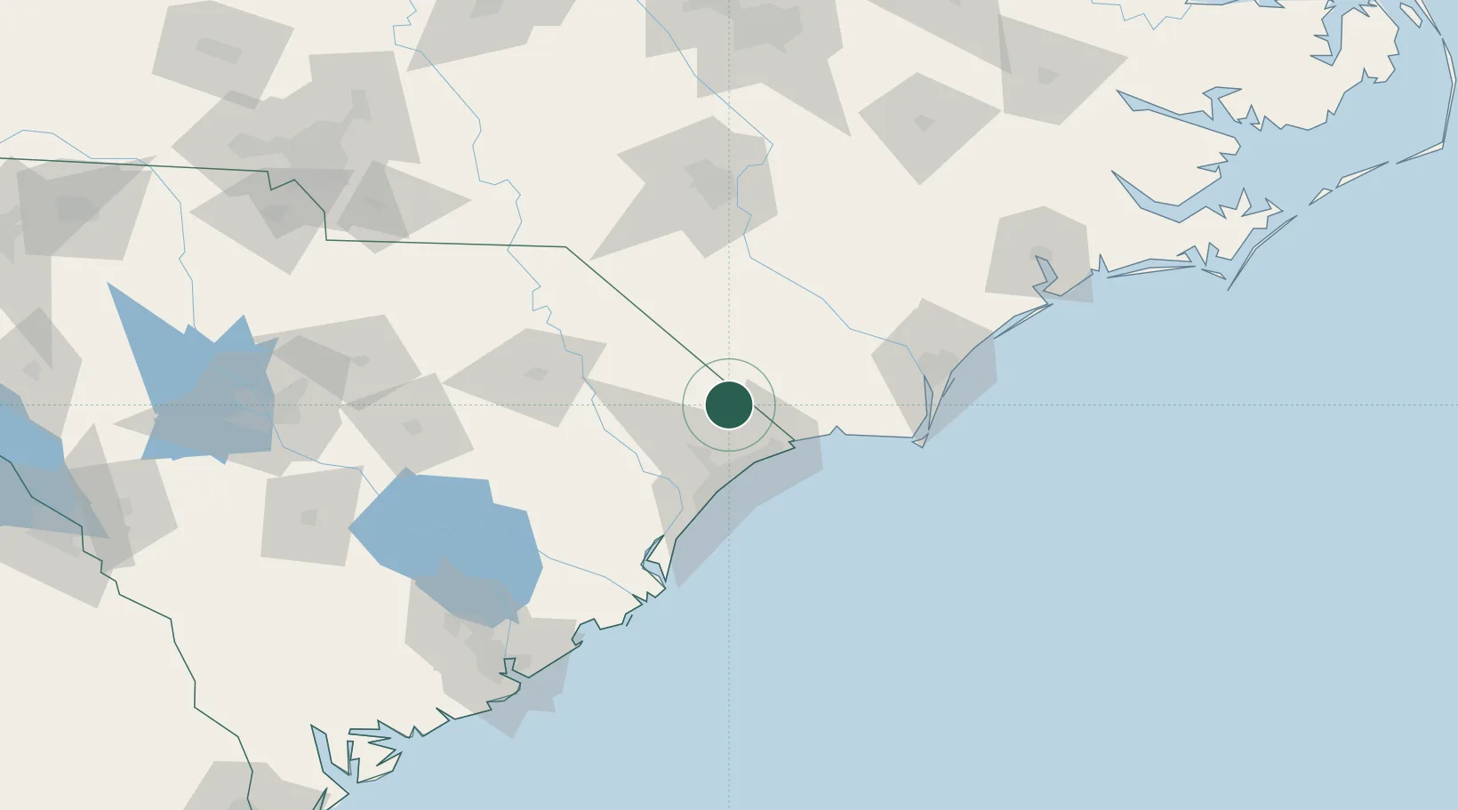
Hub Profile
Place type
Populated place
Region
South Carolina
Population
2,591
Time zone
America/New_York
Elevation
30 m
Location
Nearby Logistics Neighbours
Cities
- 1Tabor City9 km
- 2Aynor30 km
- 3North Myrtle Beach31 km
- 4Little River32 km
- 5Calabash35 km
Ports
- 1Southport81 km
- 2Georgetown85 km
- 3Wilmington88 km
- 4Wrightsville100 km
- 5Charleston170 km
Airports
Trade Zones
- 1FTZ No. 214 Lenoir County158 km
- 2FTZ No. 021 Dorchester County201 km
- 3FTZ No. 093 Raleigh Durham206 km
- 4FTZ No. 127 West Columbia207 km
- 5FTZ No. 057 Mecklenburg County242 km
DatabookThe Record of Consolidated Knowledge
United States beyond logistics?