Transport Functions
Rail
Road
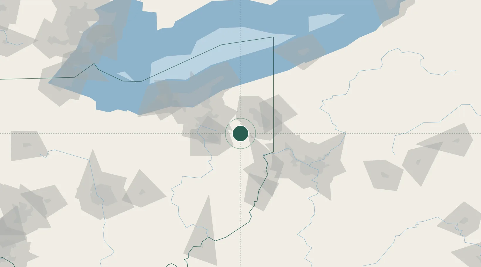
Hub Profile
Place type
Populated place
Region
Ohio
Population
939
Time zone
America/New_York
Elevation
344 m
Location
Nearby Logistics Neighbours
Cities
- 1Homeworth11 km
- 2Kensington21 km
- 3Leetonia22 km
- 4North Jackson24 km
- 5Rootstown27 km
Airports
Trade Zones
- 1FTZ No. 181 Akron Canton62 km
- 2FTZ No. 040 Cleveland96 km
- 3FTZ No. 033 Pittsburgh97 km
- 4FTZ No. 247 Erie153 km
- 5FTZ No. 295 Central Pennsylvania192 km
DatabookThe Record of Consolidated Knowledge
United States beyond logistics?