UN/LOCODE hub · United States
USHLM
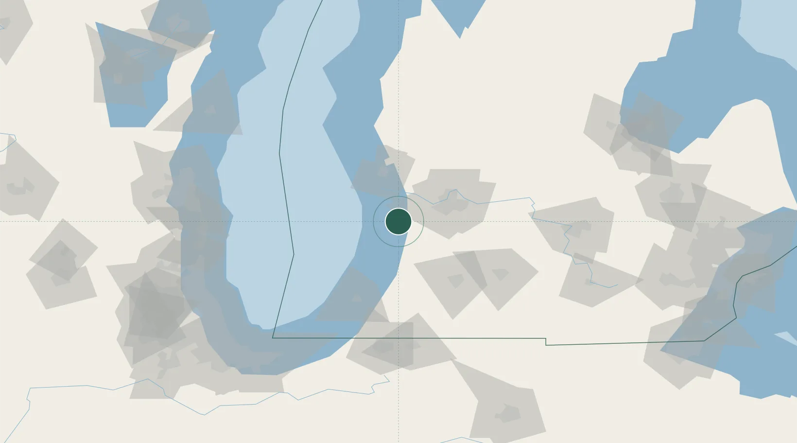
Holland
42.7833°, -86.1000°
33,742
Population
4
Transport functions
Transport Functions
Port
Rail
Road
Airport
Hub Profile
Place type
Populated place
Region
Michigan
Population
33,742
Time zone
America/Detroit
Elevation
186 m
Location
Nearby Logistics Neighbours
Cities
- 1Hamilton14 km
- 2West Olive15 km
- 3Douglas, Allegan19 km
- 4Fennville20 km
- 5Jenison27 km
Ports
- 1Grand Haven33 km
- 2South Haven45 km
- 3Muskegon52 km
- 4White Lake70 km
- 5St Joseph81 km
Airports
Trade Zones
DatabookThe Record of Consolidated Knowledge
United States beyond logistics?