Transport Functions
Rail
Road
Hub Profile
Place type
Populated place
Region
Michigan
Time zone
America/Detroit
Elevation
187 m
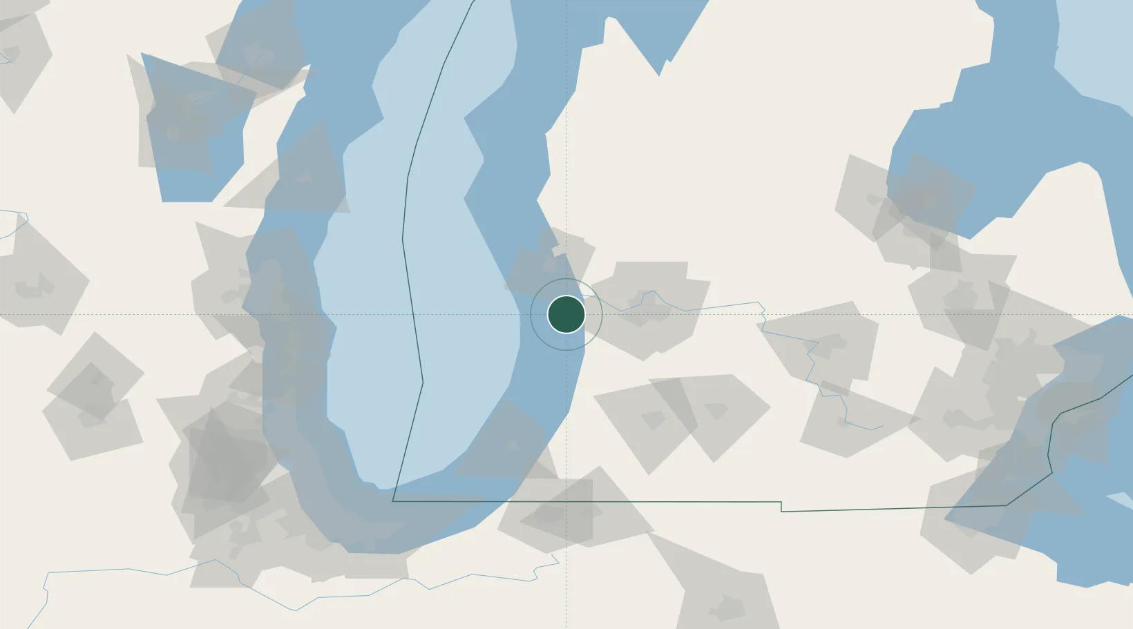
Location
Nearby Logistics Neighbours
Cities
- 1Holland15 km
- 2Spring Lake17 km
- 3Coopersville23 km
- 4Jenison26 km
- 5Norton Shores28 km
Ports
- 1Holland15 km
- 2Grand Haven19 km
- 3Muskegon37 km
- 4White Lake55 km
- 5South Haven59 km
Airports
Trade Zones
DatabookThe Record of Consolidated Knowledge
United States beyond logistics?