Transport Functions
Road
Multimodal
Hub Profile
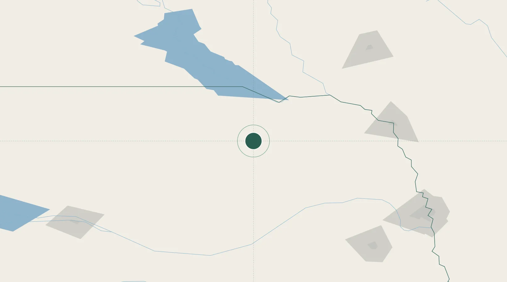
Place type
Populated place
Region
Nebraska
Population
377
Time zone
America/Chicago
Elevation
567 m
Location
Nearby Logistics Neighbours
Cities
- 1Bartlett45 km
- 2Petersburg49 km
- 3Niobrara61 km
- 4Pierce68 km
- 5Tabor94 km
Ports
- 1Superior704 km
- 2Duluth704 km
- 3Two Harbors748 km
- 4Ashland765 km
- 5Washburn768 km
Airports
Trade Zones
- 1FTZ No. 220 Sioux Falls192 km
- 2FTZ No. 059 Lincoln204 km
- 3FTZ No. 288 Northwest Iowa211 km
- 4FTZ No. 133 Quad-Cities, Iowa Illinois288 km
- 5FTZ No. 107 Polk County387 km
DatabookThe Record of Consolidated Knowledge
United States beyond logistics?