UN/LOCODE hub · United States
USREF
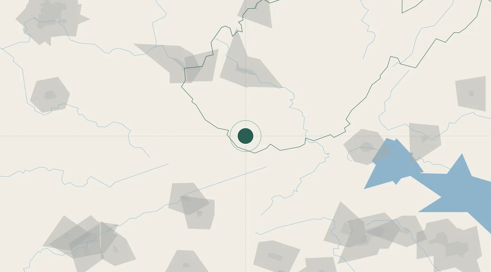
Roderfield
37.4500°, -81.7167°
188
Population
3
Transport functions
Transport Functions
Rail
Road
Multimodal
Hub Profile
Place type
Populated place
Region
West Virginia
Population
188
Time zone
America/New_York
Elevation
344 m
Location
Nearby Logistics Neighbours
Ports
- 1Richmond380 km
- 2Fredericksburg386 km
- 3West Point434 km
- 4Alexandria436 km
- 5Washington D.C.439 km
Airports
- 1Mercer County Airport48 km
- 2Raleigh County Memorial Airport64 km
- 3Yeager Airport103 km
- 4Greenbrier Valley Airport124 km
- 5Tri-Cities Regional TN/VA Airport125 km
Trade Zones
- 1FTZ No. 238 Dublin98 km
- 2FTZ No. 229 Charleston99 km
- 3FTZ No. 204 Tri-Cities124 km
- 4FTZ No. 230 Piedmont Triad Area198 km
- 5FTZ No. 057 Mecklenburg County250 km
DatabookThe Record of Consolidated Knowledge
United States beyond logistics?