UN/LOCODE hub · United States
USMQJ
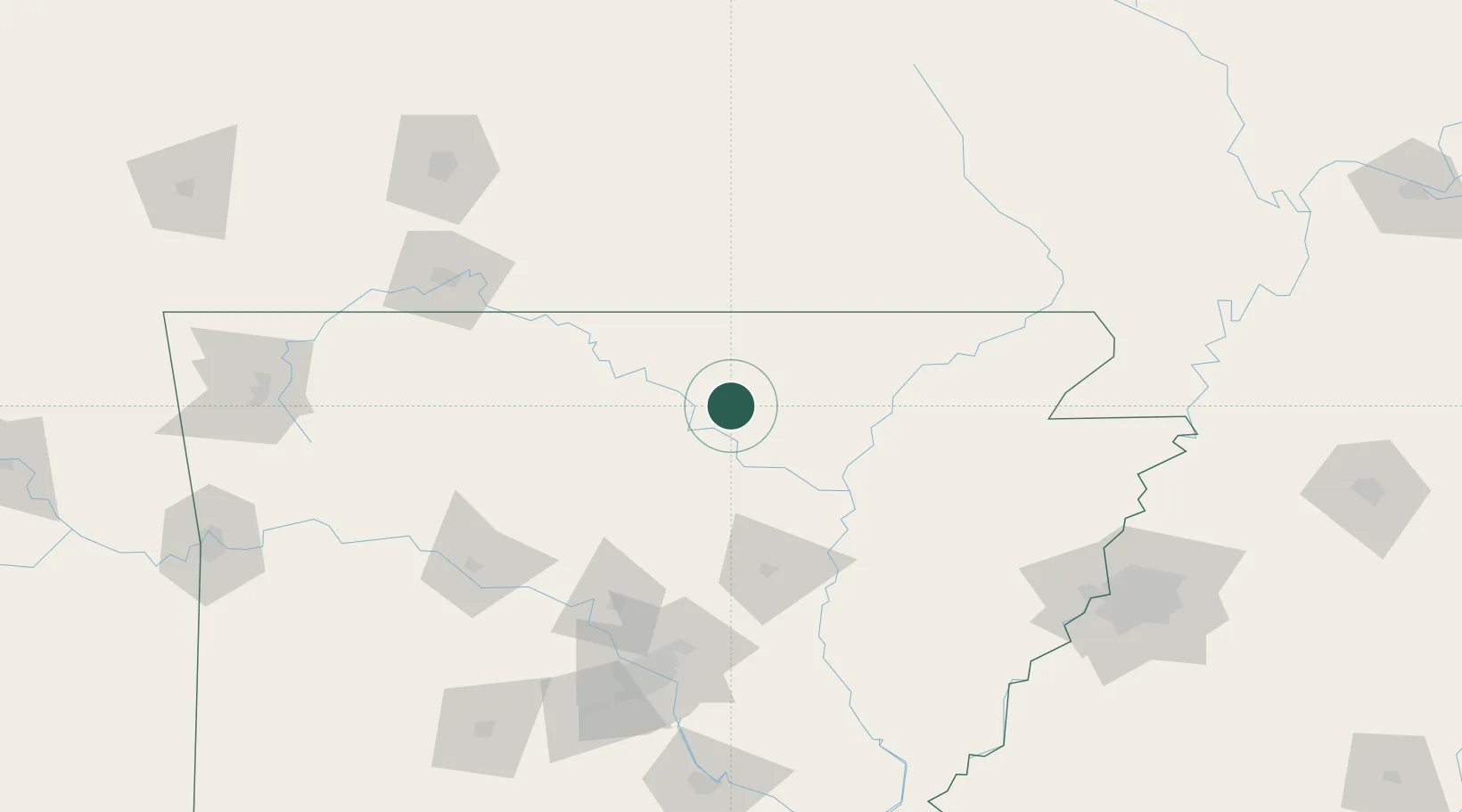
Melbourne
36.0500°, -91.9000°
1,779
Population
2
Transport functions
Transport Functions
Road
Multimodal
Hub Profile
Place type
Provincial seat
Region
Arkansas
Population
1,779
Time zone
America/Chicago
Elevation
186 m
Location
Nearby Logistics Neighbours
Cities
- 1Guion15 km
- 2Mountain View28 km
- 3Norfork39 km
- 4Magness55 km
- 5Thayer61 km
Ports
- 1Port Of Memphis191 km
- 2Baton Rouge626 km
- 3Madisonville649 km
- 4Lake Charles661 km
- 5Slidell673 km
Airports
- 1Ozark Regional Airport62 km
- 2Boone County Airport115 km
- 3Jonesboro Municipal Airport115 km
- 4Little Rock Air Force Base128 km
- 5Branson Airport128 km
Trade Zones
- 1FTZ No. 014 Little Rock151 km
- 2FTZ No. 225 Springfield170 km
- 3FTZ No. 077 Memphis181 km
- 4FTZ No. 273 West Memphis184 km
- 5FTZ No. 287 Tunica County191 km
DatabookThe Record of Consolidated Knowledge
United States beyond logistics?