Medium airport · United States

Little Rock Air Force BaseKLRF
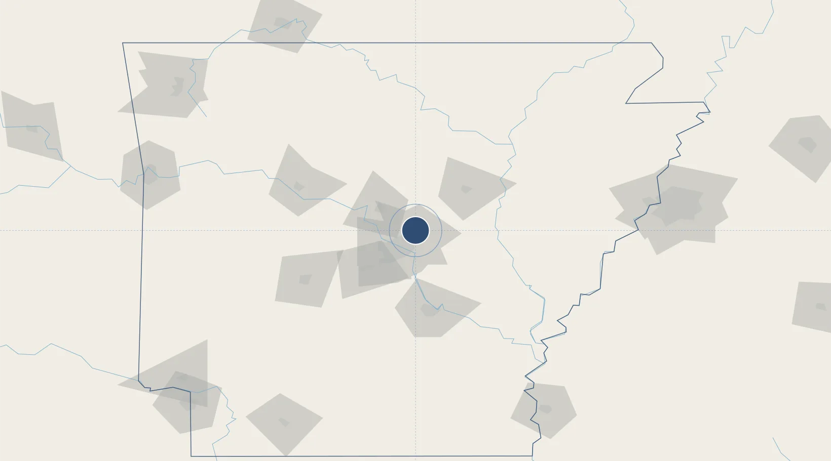
34.9169°, -92.1497°
12,001 ft
Longest runway
2
Runways
311 ft
Elevation

Runway & Layout

Little Rock Air Force Base runway & taxiway layout
Runway & taxiway layout — OpenStreetMap (ODbL) / OurAirports

Radio Frequencies

ATIS
25.11 MHz
TWR
120.6 MHz
GND
132.8 MHz
CLD
25.35 MHz
CLNC DEL
A/D
119.5 MHz
APP/DEP
MISC
143.8 MHz
ANG COMD POST
PMSV
23.98 MHz
PMSV METRO
POST
34.94 MHz
COMD POST
PTD
37.22 MHz
OurAirports

Navaids

LRF TACAN Jacksonville 109.20 MHz
TYV NDB Toneyville 290 kHz
OurAirports

Runways · 2

RunwayDimensions SurfaceTrue headingLit
07/25 12,001 × 150ft Concrete 071°
071/251 3,354 × 60ft Concrete
OurAirports

Airport Specifications

IATA code
LRF
OurAirports
ICAO code
KLRF
OurAirports
Airport class
Medium airport
OurAirports
Scheduled service
No
OurAirports
Runway surface
Concrete
OurAirports
Served city
Jacksonville
OurAirports

Location

Location of KLRF
Natural Earth 10m (public domain) · Arkansas · KLRF · 34.92, -92.15GoogleOSMYandex

Nearby Logistics Neighbours

Airports
  1. 1Bill & Hillary Clinton National Airport/Adams Field22 km
  2. 2Saline County Regional Airport47 km
  3. 3Pine Bluff Regional Airport, Grider Field85 km
  4. 4Memorial Field Airport99 km
  5. 5Monticello Municipal Ellis Field147 km
Nearest neighbours — logibook spatial index (haversine) over the source coordinates
Cities
  1. 1Sherwood14 km
  2. 2Cabot16 km
  3. 3Ward21 km
  4. 4Mabelvale37 km
  5. 5Carlisle39 km
Nearest neighbours — logibook spatial index (haversine) over the source coordinates
Ports
  1. 1Port Of Memphis181 km
  2. 2Baton Rouge505 km
  3. 3Lake Charles533 km
  4. 4Madisonville536 km
  5. 5Orange558 km
Nearest neighbours — logibook spatial index (haversine) over the source coordinates
Trade Zones
  1. 1FTZ No. 014 Little Rock23 km
  2. 2FTZ No. 287 Tunica County138 km
  3. 3FTZ No. 077 Memphis175 km
  4. 4FTZ No. 273 West Memphis180 km
  5. 5FTZ No. 223 Memphis187 km
Nearest neighbours — logibook spatial index (haversine) over the source coordinates
DatabookThe Record of Consolidated Knowledge
United States beyond logistics?
Browse databook

All Sources

AirportsOurAirports
Public domain
Portsthe NGA World Port Index
Public domain (US gov)
LocationsUN/LOCODE
UN/LOCODE — free
Trade Zonesthe World Bank SEZ database
CC BY 4.0
Trade ZonesOpen Zone Map
CC BY
InfrastructureOpenStreetMap
ODbL 1.0
← United States airports