Transport Functions
Rail
Road
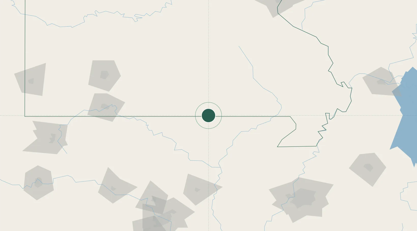
Hub Profile
Place type
Populated place
Region
Missouri
Population
2,245
Time zone
America/Chicago
Elevation
161 m
Location
Nearby Logistics Neighbours
Cities
- 1Pomona52 km
- 2Melbourne61 km
- 3Willow Springs65 km
- 4Doniphan65 km
- 5Tecumseh69 km
Ports
- 1Port Of Memphis203 km
- 2Gary673 km
- 3Indiana Harbor673 km
- 4Baton Rouge675 km
- 5Calumet Harbor676 km
Airports
- 1Ozark Regional Airport85 km
- 2Jonesboro Municipal Airport110 km
- 3Waynesville-St. Robert Regional Airport-Forney Field147 km
- 4Boone County Airport148 km
- 5Branson Airport149 km
Trade Zones
- 1FTZ No. 225 Springfield163 km
- 2FTZ No. 283 West Tennessee188 km
- 3FTZ No. 077 Memphis193 km
- 4FTZ No. 273 West Memphis195 km
- 5FTZ No. 223 Memphis201 km
DatabookThe Record of Consolidated Knowledge
United States beyond logistics?