Transport Functions
Rail
Road
Hub Profile
Place type
Populated place
Region
Arkansas
Population
83
Time zone
America/Chicago
Elevation
96 m
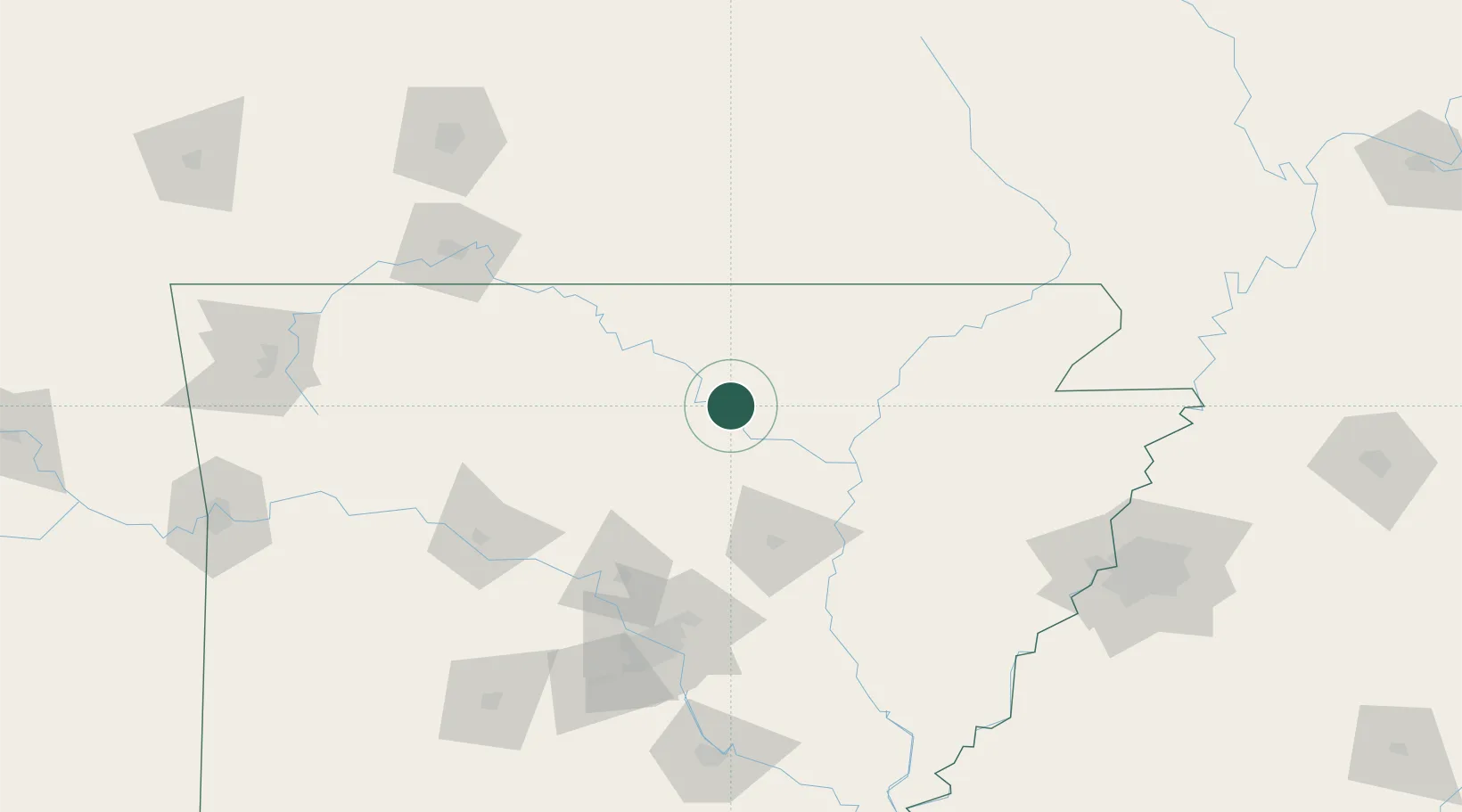
Location
Nearby Logistics Neighbours
Cities
- 1Melbourne15 km
- 2Mountain View17 km
- 3Norfork46 km
- 4Magness49 km
- 5Midway71 km
Ports
- 1Port Of Memphis186 km
- 2Baton Rouge612 km
- 3Madisonville636 km
- 4Lake Charles646 km
- 5Slidell659 km
Airports
- 1Ozark Regional Airport70 km
- 2Little Rock Air Force Base113 km
- 3Boone County Airport116 km
- 4Jonesboro Municipal Airport116 km
- 5Branson Airport133 km
Trade Zones
- 1FTZ No. 014 Little Rock136 km
- 2FTZ No. 077 Memphis176 km
- 3FTZ No. 273 West Memphis180 km
- 4FTZ No. 225 Springfield180 km
- 5FTZ No. 287 Tunica County181 km
DatabookThe Record of Consolidated Knowledge
United States beyond logistics?