Transport Functions
Rail
Road
Multimodal
Hub Profile
Place type
Populated place
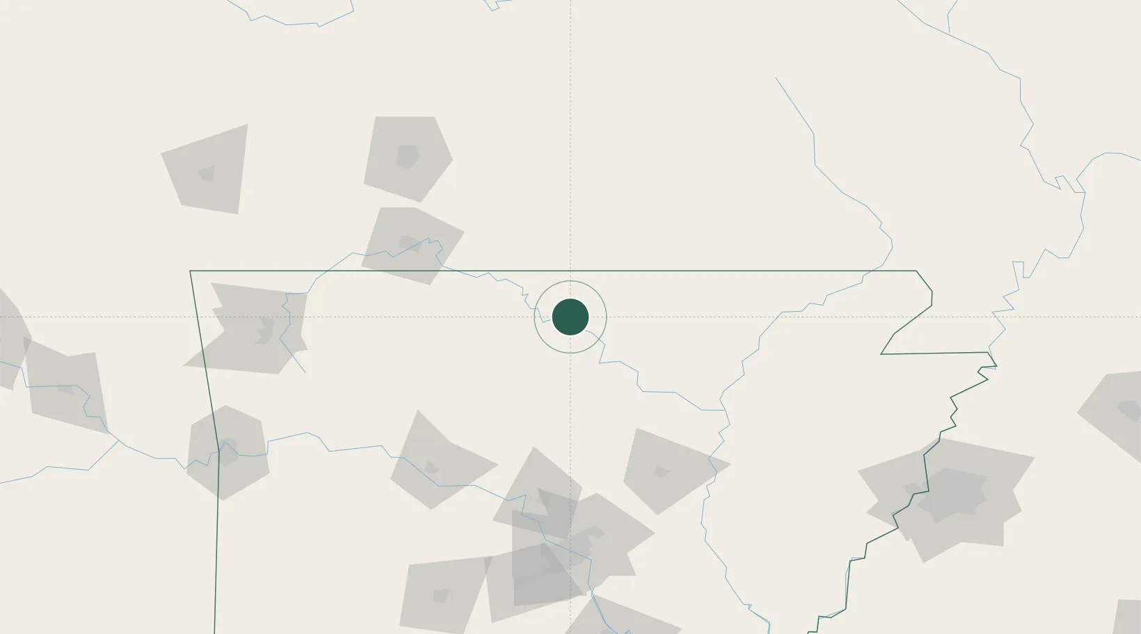
Region
Arkansas
Population
499
Time zone
America/Chicago
Elevation
145 m
Location
Nearby Logistics Neighbours
Cities
- 1Midway25 km
- 2Flippin29 km
- 3Melbourne39 km
- 4Tecumseh41 km
- 5Mountain View42 km
Ports
- 1Port Of Memphis230 km
- 2Baton Rouge649 km
- 3Lake Charles673 km
- 4Madisonville676 km
- 5Orange695 km
Airports
- 1Ozark Regional Airport24 km
- 2Boone County Airport78 km
- 3Branson Airport89 km
- 4Little Rock Air Force Base145 km
- 5Springfield Branson National Airport151 km
Trade Zones
- 1FTZ No. 225 Springfield134 km
- 2FTZ No. 014 Little Rock167 km
- 3FTZ No. 077 Memphis220 km
- 4FTZ No. 273 West Memphis223 km
- 5FTZ No. 287 Tunica County227 km
DatabookThe Record of Consolidated Knowledge
United States beyond logistics?