UN/LOCODE hub · United States
USVAJ
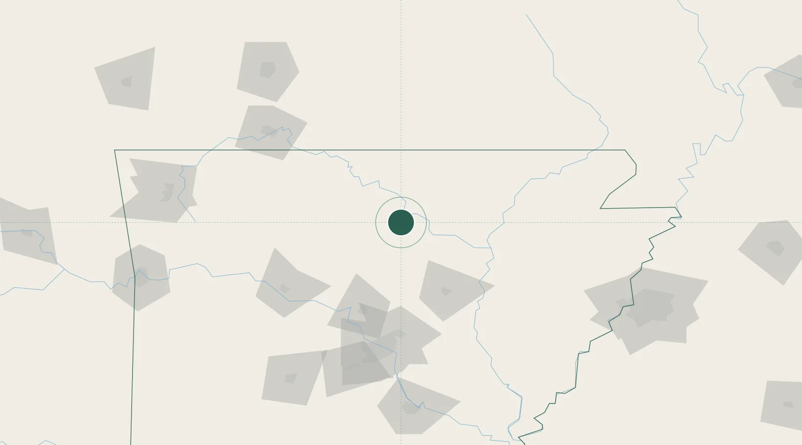
Mountain View
35.8667°, -92.1167°
2,837
Population
2
Transport functions
Transport Functions
Road
Multimodal
Hub Profile
Place type
Provincial seat
Region
Arkansas
Population
2,837
Time zone
America/Chicago
Elevation
232 m
Location
Nearby Logistics Neighbours
Ports
- 1Port Of Memphis198 km
- 2Baton Rouge609 km
- 3Madisonville635 km
- 4Lake Charles637 km
- 5Slidell660 km
Airports
- 1Ozark Regional Airport64 km
- 2Boone County Airport103 km
- 3Little Rock Air Force Base106 km
- 4Branson Airport122 km
- 5Bill & Hillary Clinton National Airport/Adams Field127 km
Trade Zones
- 1FTZ No. 014 Little Rock128 km
- 2FTZ No. 225 Springfield175 km
- 3FTZ No. 287 Tunica County188 km
- 4FTZ No. 077 Memphis188 km
- 5FTZ No. 273 West Memphis192 km
DatabookThe Record of Consolidated Knowledge
United States beyond logistics?