Transport Functions
Multimodal
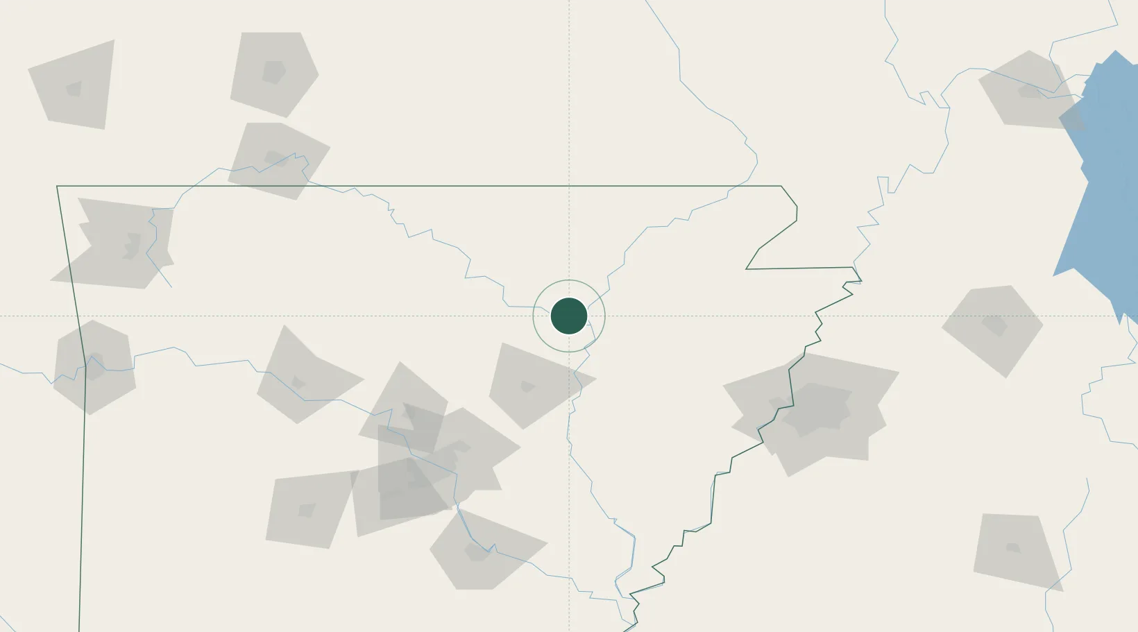
Hub Profile
Place type
Populated place
Region
Arkansas
Population
202
Time zone
America/Chicago
Elevation
84 m
Location
Nearby Logistics Neighbours
Cities
- 1Bald Knob44 km
- 2Kensett46 km
- 3Guion49 km
- 4Judsonia51 km
- 5Waldenburg51 km
Ports
- 1Port Of Memphis137 km
- 2Baton Rouge584 km
- 3Madisonville602 km
- 4Slidell624 km
- 5Lake Charles632 km
Airports
Trade Zones
- 1FTZ No. 077 Memphis127 km
- 2FTZ No. 014 Little Rock128 km
- 3FTZ No. 273 West Memphis131 km
- 4FTZ No. 287 Tunica County137 km
- 5FTZ No. 223 Memphis138 km
DatabookThe Record of Consolidated Knowledge
United States beyond logistics?