Transport Functions
Rail
Road
Airport
Hub Profile
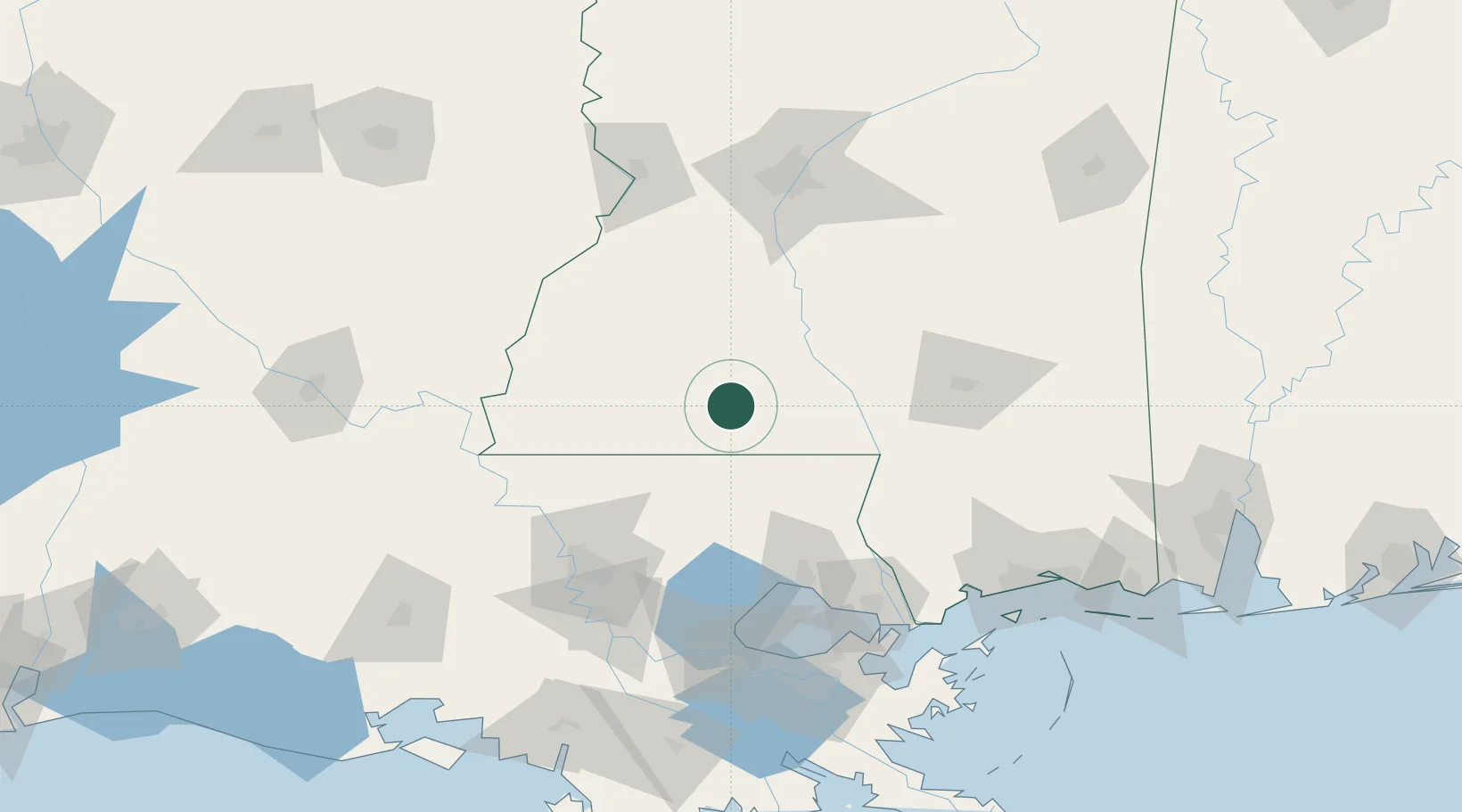
Place type
Populated place
Region
Mississippi
Population
12,661
Time zone
America/Chicago
Elevation
129 m
Location
Nearby Logistics Neighbours
Cities
- 1Magnolia9 km
- 2Tylertown31 km
- 3Franklinton51 km
- 4Roseland54 km
- 5Silver Creek60 km
Ports
- 1Madisonville97 km
- 2Baton Rouge112 km
- 3Slidell125 km
- 4Reserve132 km
- 5Convent140 km
Airports
Trade Zones
- 1FTZ No. 154 Baton Rouge117 km
- 2FTZ No. 155 Calhoun Victoria Counties117 km
- 3FTZ No. 158 Vicksburg Jackson125 km
- 4FTZ No. 124 Gramercy133 km
- 5FTZ No. 002 New Orleans149 km
DatabookThe Record of Consolidated Knowledge
United States beyond logistics?