UN/LOCODE hub · United States
USZ2F
Jenkinsburg
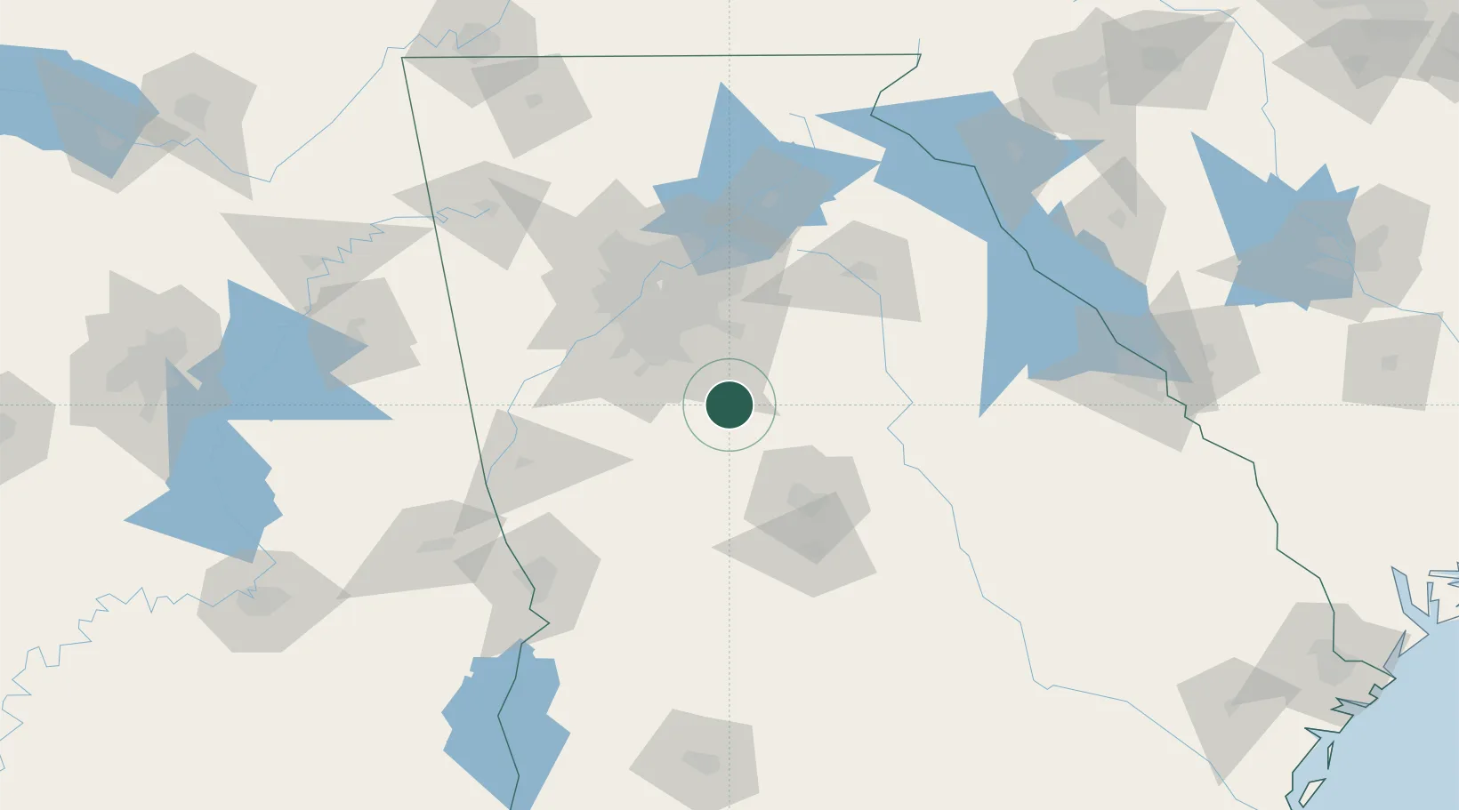
33.3167°, -84.0333°
367
Population
1
Transport functions
Transport Functions
Multimodal
Hub Profile
Place type
Populated place
Region
Georgia
Population
367
Time zone
America/New_York
Elevation
234 m
Location
Nearby Logistics Neighbours
Cities
- 1Greenwood, Henry14 km
- 2Sunny Side23 km
- 3Milner27 km
- 4Porterdale31 km
- 5Juliette32 km
Ports
- 1Savannah308 km
- 2Darien327 km
- 3Beaufort329 km
- 4Port Royal330 km
- 5Brunswick339 km
Airports
Trade Zones
- 1FTZ No. 026 Atlanta60 km
- 2FTZ No. 134 Chattanooga234 km
- 3FTZ No. 222 Montgomery237 km
- 4FTZ No. 038 Spartanburg County240 km
- 5FTZ No. 098 Birmingham259 km
DatabookThe Record of Consolidated Knowledge
United States beyond logistics?