Transport Functions
Road
Multimodal
Hub Profile
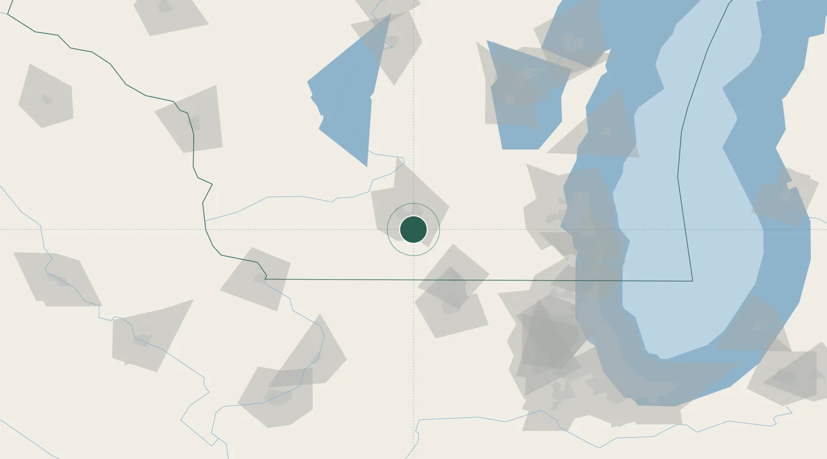
Place type
Populated place
Region
Wisconsin
Population
10,043
Time zone
America/Chicago
Elevation
288 m
Location
Nearby Logistics Neighbours
Cities
- 1Brooklyn9 km
- 2McFarland12 km
- 3Verona13 km
- 4Belleville15 km
- 5Evansville20 km
Ports
- 1Milwaukee123 km
- 2Racine132 km
- 3Port Washington133 km
- 4Kenosha134 km
- 5Waukegan143 km
Airports
Trade Zones
DatabookThe Record of Consolidated Knowledge
United States beyond logistics?