Transport Functions
Rail
Road
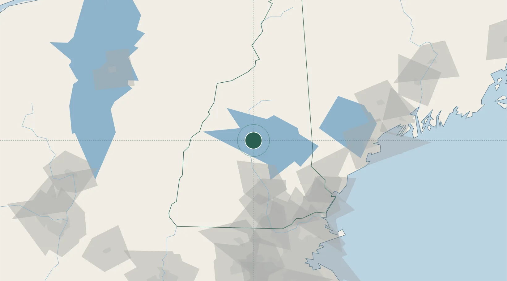
Hub Profile
Place type
Populated place
Region
New Hampshire
Population
1,244
Time zone
America/New_York
Elevation
168 m
Location
Nearby Logistics Neighbours
Cities
- 1Meredith10 km
- 2Campton17 km
- 3Gilford22 km
- 4Ellsworth22 km
- 5Sanbornton23 km
Ports
- 1Saco96 km
- 2Portsmouth97 km
- 3Kennebunkport99 km
- 4Portland110 km
- 5Newburyport114 km
Airports
Trade Zones
- 1FTZ No. 081 Portsmouth94 km
- 2FTZ No. 268 Brattleboro121 km
- 3FTZ No. 263 Auburn122 km
- 4FTZ No. 027 Boston158 km
- 5FTZ No. 186 Waterville180 km
DatabookThe Record of Consolidated Knowledge
United States beyond logistics?