Transport Functions
Road
Multimodal
Hub Profile
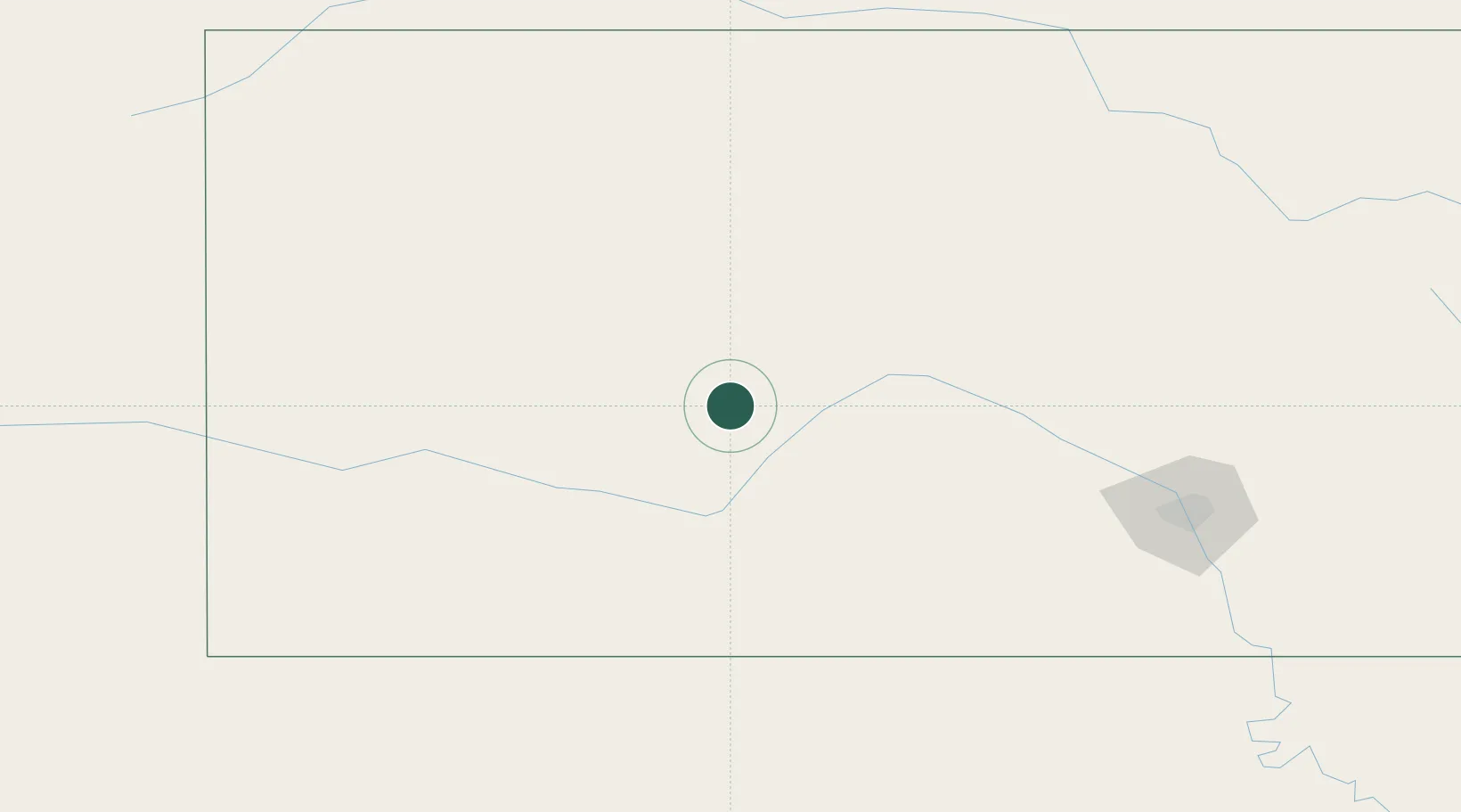
Place type
Populated place
Region
Kansas
Population
241
Time zone
America/Chicago
Elevation
647 m
Location
Nearby Logistics Neighbours
Cities
- 1La Crosse42 km
- 2Ness City42 km
- 3Greensburg70 km
- 4Hoisington76 km
- 5Stafford86 km
Ports
- 1Port Of Memphis905 km
- 2Beaumont1032 km
- 3Port Neches1046 km
- 4Orange1048 km
- 5Lake Charles1059 km
Airports
Trade Zones
- 1FTZ No. 161 Sedgwick County165 km
- 2FTZ No. 133 Quad-Cities, Iowa Illinois352 km
- 3FTZ No. 106 Oklahoma City353 km
- 4FTZ No. 059 Lincoln371 km
- 5FTZ No. 293 Limon379 km
DatabookThe Record of Consolidated Knowledge
United States beyond logistics?